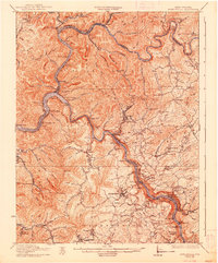
1931 Map of Fayetteville
USGS Topo · Published 1938About this map
The Gauley River carves a deep, winding path through the center of this 1928 revision, meeting the Kanwha River at the industrial and transportation hub of Gauley Bridge. This survey captures the region during a period of intense resource extraction and infrastructure growth, shown through the intricate network of the Chesapeake and Ohio and the Virginian railroads following the river banks. Along the heights of Gauley Mountain and Cotton Hill, numerous rural schools like Victor Sch and Beech Run Sch served dispersed communities in the hills above the river gorges.
Find a feature on this map
132 named features on this map. Tap any name to fly to it.
Don’t see what you’re looking for? This feature index may not catch every label — zoom into the map to look around manually.
Map Details
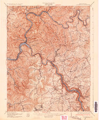
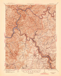
Editions of this 1931 Fayetteville Map
3 editions found
Other maps of this area

1887 · Hinton
USGS Topo · 1:125,000

1889 · Nicholas
USGS Topo · 1:125,000

1891 · Nicholas
USGS Topo · 1:125,000

1891 · Raleigh
USGS Topo · 1:125,000

1892 · Hinton
USGS Topo · 1:125,000

1897 · Kanawha Falls
USGS Topo · 1:125,000

1897 · Raleigh
USGS Topo · 1:125,000

1900 · Kanawha Falls
USGS Topo · 1:125,000

1901 · Nicholas
USGS Topo · 1:125,000

1901 · Kanawha Falls
USGS Topo · 1:125,000