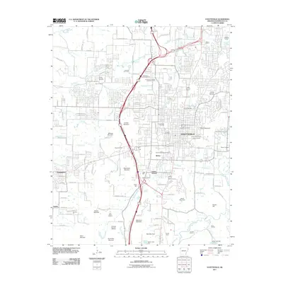
2011 Map of Fayetteville
USGS Topo · Published 2011About this map
Fayetteville and the surrounding Washington County hills are documented here in detail during a period of modern expansion. The sprawling campus of the University of Arkansas and its nearby University of Arkansas Experimental Farm dominate the central landscape, while the city's deep historical roots are visible through a significant concentration of burial grounds, including the Fayetteville National Cemetery, the Confederate Cemetery, and the Walker Cemetery. The terrain is defined by a series of prominent rises such as Mount Sequoyah and Washington Mountain, which separate the residential blocks of the city from the industrial corridors near Fayette Junction. To the south, aviation and rural heritage intersect at Drake Field and Raid Mountain, showing the edge where the urban grid of the university town gives way to the ridges and hollows of the Arkansas landscape.
Find a feature on this map
101 named features on this map. Tap any name to fly to it.
Don’t see what you’re looking for? This feature index may not catch every label — zoom into the map to look around manually.
Map Details
Editions of this 2011 Fayetteville Map
This is the sole edition of this map. No revisions or reprints were ever made.
Other maps of this area

1898 · Winslow
USGS Topo · 1:125,000

1899 · Fayetteville
USGS Topo · 1:125,000

1901 · Winslow
USGS Topo · 1:125,000

1901 · Fayetteville
USGS Topo · 1:125,000

1904 · Fayetteville
USGS Topo · 1:125,000

1946 · Fort Smith
USGS Topo · 1:250,000

1954 · Tulsa
USGS Topo · 1:250,000

1958 · Sonora
USGS Topo · 1:24,000

1958 · Fayetteville
USGS Topo · 1:24,000

1958 · Elkins
USGS Topo · 1:24,000