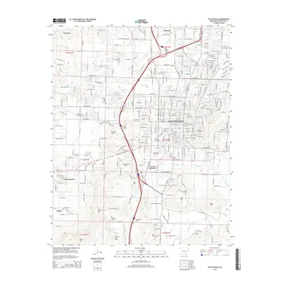
2014 Map of Fayetteville
USGS Topo · Published 2014About this map
Fayetteville and the surrounding Ozark foothills appear here during a period of significant regional growth, centered on the Univ of Arkansas Main Campus. The landscape is a mix of urban expansion and prominent topographical landmarks, with Mt Sequoyah overlooking the city center and a series of peaks including Washington Mtn, Kessler Mtn, and Millsaps Mtn defining the western horizon. To the south and west, the smaller communities of Farmington, Tontitown, and Johnson are clearly delineated alongside the rail-linked Fayette Junction.
Find a feature on this map
78 named features on this map. Tap any name to fly to it.
Don’t see what you’re looking for? This feature index may not catch every label — zoom into the map to look around manually.
Map Details
Editions of this 2014 Fayetteville Map
This is the sole edition of this map. No revisions or reprints were ever made.
Other maps of this area

1898 · Winslow
USGS Topo · 1:125,000

1899 · Fayetteville
USGS Topo · 1:125,000

1901 · Winslow
USGS Topo · 1:125,000

1901 · Fayetteville
USGS Topo · 1:125,000

1904 · Fayetteville
USGS Topo · 1:125,000

1946 · Fort Smith
USGS Topo · 1:250,000

1954 · Tulsa
USGS Topo · 1:250,000

1958 · Sonora
USGS Topo · 1:24,000

1958 · Fayetteville
USGS Topo · 1:24,000

1958 · Elkins
USGS Topo · 1:24,000