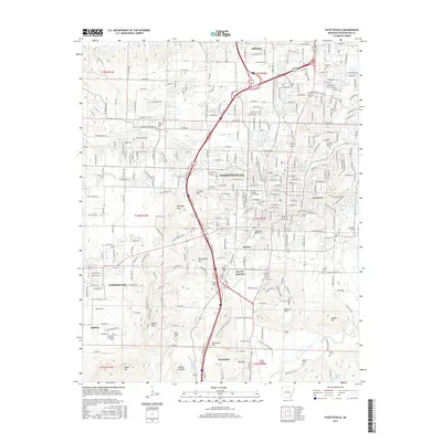
2017 Map of Fayetteville
USGS Topo · Published 2017About this map
The Univ of Arkansas Main Campus serves as the geographic and cultural anchor for Fayetteville in this 2017 survey. The landscape is defined by its complex topography, where the city grid meets significant elevations like Mt Sequoyah, Archias Mtn, and Kessler Mtn. The map reveals a high concentration of memorial sites, including the Fayetteville National Cem, Confederate Cem, and the historic Evergreen Cem, offering deep genealogical value for the region.
Find a feature on this map
92 named features on this map. Tap any name to fly to it.
Don’t see what you’re looking for? This feature index may not catch every label — zoom into the map to look around manually.
Map Details
Editions of this 2017 Fayetteville Map
This is the sole edition of this map. No revisions or reprints were ever made.
Other maps of this area

1898 · Winslow
USGS Topo · 1:125,000

1899 · Fayetteville
USGS Topo · 1:125,000

1901 · Winslow
USGS Topo · 1:125,000

1901 · Fayetteville
USGS Topo · 1:125,000

1904 · Fayetteville
USGS Topo · 1:125,000

1946 · Fort Smith
USGS Topo · 1:250,000

1954 · Tulsa
USGS Topo · 1:250,000

1958 · Sonora
USGS Topo · 1:24,000

1958 · Fayetteville
USGS Topo · 1:24,000

1958 · Elkins
USGS Topo · 1:24,000