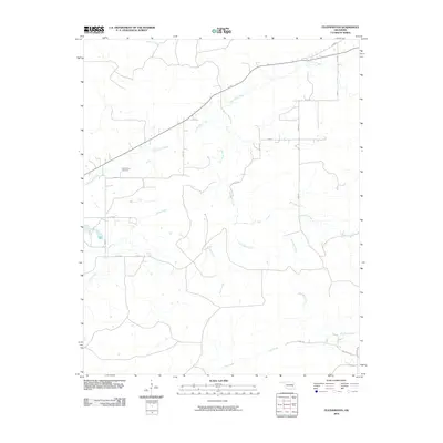
2010 Map of Featherston
USGS Topo · Published 2010About this map
Featherston Cemetery stands as a focal point for local history in this rural corner of Pittsburg County, situated just north of Featherston Creek. The landscape is defined by its intricate drainage network, where multiple waterways including Sans Bois Creek, Jones Creek, and Ash Creek carve through the terrain. The area's infrastructure in 2010 was characterized by a grid of rural roads, such as Ash Creek Rd and Huston Ln, which provide access to the dispersed homesteads and agricultural plots that dot the valleys between these various creek beds. This mapping reveals the persistent settlement patterns in eastern Oklahoma, where the orientation of roads and property lines often follows the natural flow of the local hydrology like Cedar Creek and Hornback Creek.
Find a feature on this map
25 named features on this map. Tap any name to fly to it.
Don’t see what you’re looking for? This feature index may not catch every label — zoom into the map to look around manually.
Map Details
Editions of this 2010 Featherston Map
This is the sole edition of this map. No revisions or reprints were ever made.
Other maps of this area

1898 · McAlester
USGS Topo · 1:125,000

1900 · Sansbois
USGS Topo · 1:125,000

1900 · Canadian
USGS Topo · 1:125,000

1901 · Tuskahoma
USGS Topo · 1:125,000

1908 · Tuskahoma
USGS Topo · 1:125,000

1909 · Mc Alester
USGS Topo · 1:125,000

1909 · Tuskahoma
USGS Topo · 1:125,000

1909 · Sans Bois
USGS Topo · 1:125,000

1911 · Sansbois
USGS Topo · 1:125,000

1946 · Fort Smith
USGS Topo · 1:250,000