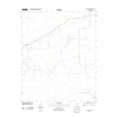
2012 Map of Featherston
USGS Topo · Published 2012About this map
Featherston remains a primary anchor in this rural Oklahoma landscape, where the local road network follows the section lines characteristic of the region's agricultural layout. A network of waterways, including the winding Sans Bois Cr and its tributaries like Hornback Cr and Featherston Cr, dictates the movement and settlement patterns across the terrain. For genealogists and local historians, the Featherston Cem provides a specific point of interest near the settlement center.
Find a feature on this map
27 named features on this map. Tap any name to fly to it.
Don’t see what you’re looking for? This feature index may not catch every label — zoom into the map to look around manually.
Map Details
Editions of this 2012 Featherston Map
This is the sole edition of this map. No revisions or reprints were ever made.
Other maps of this area

1898 · McAlester
USGS Topo · 1:125,000

1900 · Sansbois
USGS Topo · 1:125,000

1900 · Canadian
USGS Topo · 1:125,000

1901 · Tuskahoma
USGS Topo · 1:125,000

1908 · Tuskahoma
USGS Topo · 1:125,000

1909 · Mc Alester
USGS Topo · 1:125,000

1909 · Tuskahoma
USGS Topo · 1:125,000

1909 · Sans Bois
USGS Topo · 1:125,000

1911 · Sansbois
USGS Topo · 1:125,000

1946 · Fort Smith
USGS Topo · 1:250,000