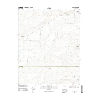
2016 Map of Featherston
USGS Topo · Published 2016About this map
Featherston and Quinton anchor the northern reaches of this landscape, where the foothills of the Sans Bois Mountains begin to rise. The terrain is defined by a dense network of drainages, including Sans Bois Cr, Featherston Cr, and Heifer Cr, which carve through the elevations south of the township lines. Local history and genealogy interest is centered around the Featherston Cem, located just south of the settlement itself.
Find a feature on this map
40 named features on this map. Tap any name to fly to it.
Don’t see what you’re looking for? This feature index may not catch every label — zoom into the map to look around manually.
Map Details
Editions of this 2016 Featherston Map
This is the sole edition of this map. No revisions or reprints were ever made.
Other maps of this area

1898 · McAlester
USGS Topo · 1:125,000

1900 · Sansbois
USGS Topo · 1:125,000

1900 · Canadian
USGS Topo · 1:125,000

1901 · Tuskahoma
USGS Topo · 1:125,000

1908 · Tuskahoma
USGS Topo · 1:125,000

1909 · Mc Alester
USGS Topo · 1:125,000

1909 · Tuskahoma
USGS Topo · 1:125,000

1909 · Sans Bois
USGS Topo · 1:125,000

1911 · Sansbois
USGS Topo · 1:125,000

1946 · Fort Smith
USGS Topo · 1:250,000