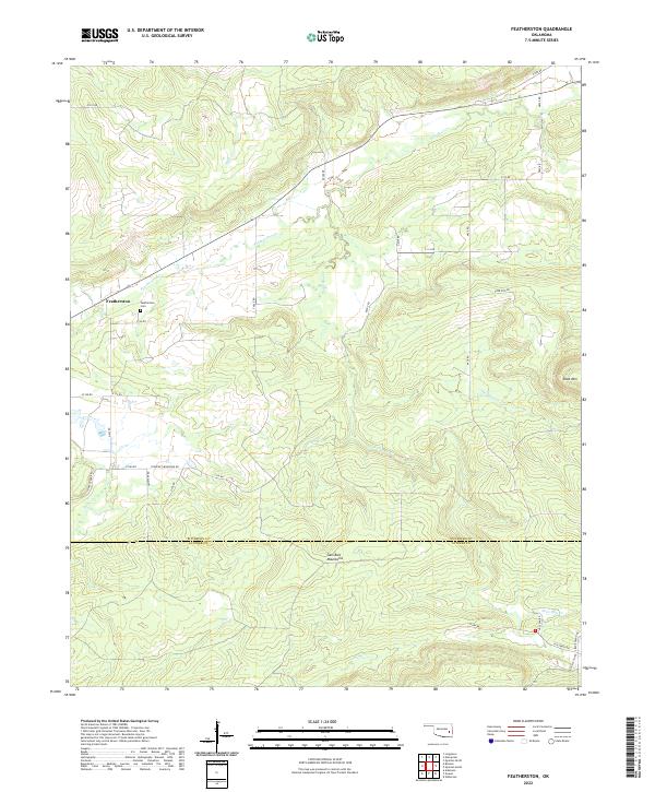
2022 Map of Featherston
USGS Topo · Published 2022About this map
Featherston sits as the primary settlement in this corner of Oklahoma, situated just north of the Sans Bois Mountains. The terrain is defined by a dense network of drainages that carve through the landscape, including Featherston Cr, Heifer Cr, and Sans Bois Cr. This modern survey reveals how the local road network, such as Ironpost Mountain Rd and Jones Creek Rd, has adapted to the underlying topography, particularly as the land rises toward Shoe Mtn in the east.
Find a feature on this map
45 named features on this map. Tap any name to fly to it.
Don’t see what you’re looking for? This feature index may not catch every label — zoom into the map to look around manually.
Map Details
Editions of this 2022 Featherston Map
This is the sole edition of this map. No revisions or reprints were ever made.
Other maps of this area

1898 · McAlester
USGS Topo · 1:125,000

1900 · Sansbois
USGS Topo · 1:125,000

1900 · Canadian
USGS Topo · 1:125,000

1901 · Tuskahoma
USGS Topo · 1:125,000

1908 · Tuskahoma
USGS Topo · 1:125,000

1909 · Mc Alester
USGS Topo · 1:125,000

1909 · Tuskahoma
USGS Topo · 1:125,000

1909 · Sans Bois
USGS Topo · 1:125,000

1911 · Sansbois
USGS Topo · 1:125,000

1946 · Fort Smith
USGS Topo · 1:250,000