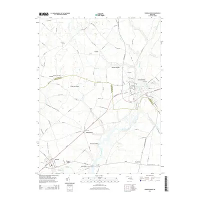
2014 Map of Federalsburg
USGS Topo · Published 2014About this map
Marshyhope Creek defines the central corridor of this Eastern Shore landscape, flowing south through the heart of Federalsburg toward the county line between Caroline and Dorchester counties. The 2014 survey reveals a mix of established town centers and small residential pockets like White Oak Manor and Bradley Heights. Transport and infrastructure are centered on the Harrison Ferry Bridge area and the small Magennis Farm Airport to the west.
Find a feature on this map
110 named features on this map. Tap any name to fly to it.
Don’t see what you’re looking for? This feature index may not catch every label — zoom into the map to look around manually.
Map Details
Editions of this 2014 Federalsburg Map
This is the sole edition of this map. No revisions or reprints were ever made.
Other maps of this area

1905 · Denton
USGS Topo · 1:62,500

1905 · Hurlock
USGS Topo · 1:62,500

1915 · Seaford
USGS Topo · 1:62,500

1918 · Harrington
USGS Topo · 1:62,500
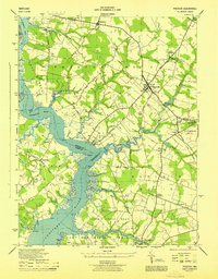
1944 · Preston
USGS Topo · 1:31,680

1944 · Federalsburg
USGS Topo · 1:31,680
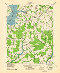
1944 · East New Market
USGS Topo · 1:31,680

1944 · Seaford
USGS Topo · 1:62,500

1944 · Hobbs
USGS Topo · 1:31,680
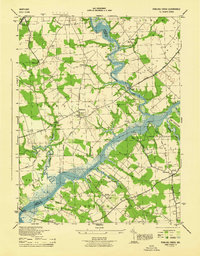
1944 · Fowling Creek
USGS Topo · 1:31,680