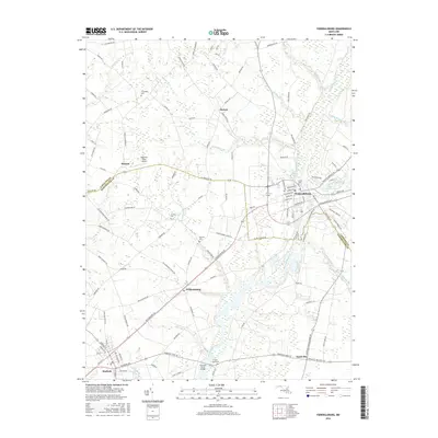
2016 Map of Federalsburg
USGS Topo · Published 2016About this map
Marshyhope Creek defines the central geography of this Eastern Shore landscape, flowing south through the heart of Federalsburg toward the Harrison Ferry Bridge. The settlement pattern reflects the area's agricultural and rural roots, with small hubs like Williamsburg and Hurlock connected by a network of local roads such as American Corner Rd and Friendship Rd. In the northern reaches, the community of Friendship and the small airfield at Magennis Farm Airport sit among a landscape carved by smaller watercourses like Faulkner Br and Hunting Cr. Genealogists and local researchers can find several historic burial sites documented across the countryside, including Friendship Cem, Solomon Cem, and Skinners Cem, alongside Lake Chambers at the edge of the Federalsburg municipal area.
Find a feature on this map
117 named features on this map. Tap any name to fly to it.
Don’t see what you’re looking for? This feature index may not catch every label — zoom into the map to look around manually.
Map Details
Editions of this 2016 Federalsburg Map
This is the sole edition of this map. No revisions or reprints were ever made.
Other maps of this area

1905 · Denton
USGS Topo · 1:62,500

1905 · Hurlock
USGS Topo · 1:62,500

1915 · Seaford
USGS Topo · 1:62,500

1918 · Harrington
USGS Topo · 1:62,500
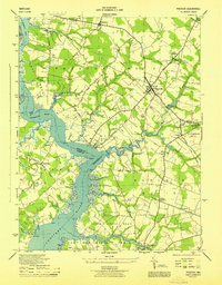
1944 · Preston
USGS Topo · 1:31,680

1944 · Federalsburg
USGS Topo · 1:31,680
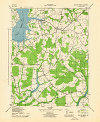
1944 · East New Market
USGS Topo · 1:31,680

1944 · Seaford
USGS Topo · 1:62,500

1944 · Hobbs
USGS Topo · 1:31,680
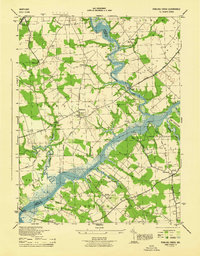
1944 · Fowling Creek
USGS Topo · 1:31,680