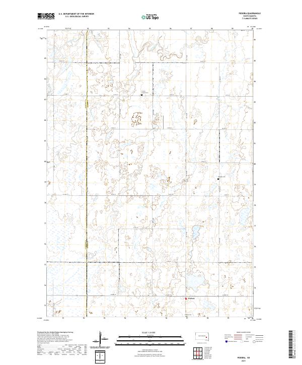
2021 Map of Fedora
USGS Topo · Published 2021About this map
Fedora sits at the southern edge of this West Central South Dakota landscape, serving as a focal point in an area defined by agricultural sections and prairie drainages. The map records the division between Sanborn Co and Miner Co, a boundary that historically influenced local governance and property records. The terrain is marked by numerous small depressions and seasonal wetlands characteristic of the glaciated plains.
Find a feature on this map
29 named features on this map. Tap any name to fly to it.
Don’t see what you’re looking for? This feature index may not catch every label — zoom into the map to look around manually.
Map Details
Editions of this 2021 Fedora Map
This is the sole edition of this map. No revisions or reprints were ever made.
Other maps of this area
1899 · Alexandria
USGS Topo · 1:125,000
1899 · De Smet
USGS Topo · 1:125,000

1953 · Watertown
USGS Topo · 1:250,000

1955 · Sioux Falls
USGS Topo · 1:250,000
1957 · Farwell NW
USGS Topo · 1:24,000

1958 · Sioux Falls
USGS Topo · 1:250,000
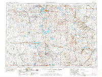
1958 · Watertown
USGS Topo · 1:250,000
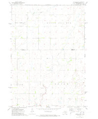
1971 · Artesian NW
USGS Topo · 1:24,000
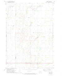
1971 · Fedora
USGS Topo · 1:24,000
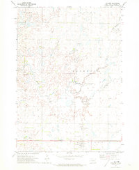
1971 · Artesian
USGS Topo · 1:24,000