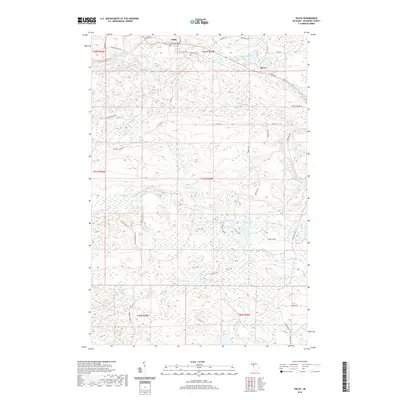
2019 Map of Felch
USGS Topo · Published 2019About this map
Felch serves as a central point in this northern Michigan landscape, where the local cemetery and secondary roads like Felch Mountain Rd connect the small community to the surrounding timberlands and waterways. The drainage of the W Br Sturgeon River dominates the central terrain, punctuated by Upper Mill Pond Falls and Lower Mill Pond Falls to the northwest. This topography highlights the area's industrial and natural heritage, with Calumet Mine Rd hinting at the iron mining history that once defined Dickinson County.
Find a feature on this map
53 named features on this map. Tap any name to fly to it.
Don’t see what you’re looking for? This feature index may not catch every label — zoom into the map to look around manually.
Map Details
Editions of this 2019 Felch Map
This is the sole edition of this map. No revisions or reprints were ever made.
Other maps of this area

1954 · Escanaba
USGS Topo · 1:250,000

1955 · Norway
USGS Topo · 1:24,000

1955 · Vulcan
USGS Topo · 1:24,000

1955 · Norway
USGS Topo · 1:62,500

1955 · Ralph
USGS Topo · 1:62,500

1956 · Foster City
USGS Topo · 1:62,500

1957 · Escanaba
USGS Topo · 1:250,000

1957 · Northland
USGS Topo · 1:62,500

1958 · Escanaba
USGS Topo · 1:250,000

1958 · Marquette
USGS Topo · 1:250,000