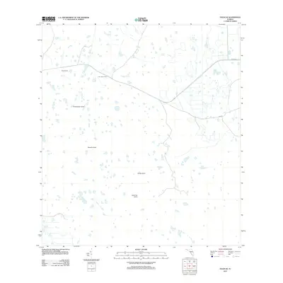
2012 Map of Felda SE
USGS Topo · Published 2012About this map
Keri Lookout Tower stands as a primary landmark in this interior portion of the Florida peninsula, overlooking a complex wetland landscape defined by scattered hammocks and drainage systems. The terrain is characterized by numerous named islands that rise above the surrounding wetlands, including Dog Island, Grasshopper Island, and Butterfly Island. These features, along with Wild Cow Island and Roney Island further south, indicate a environment where slightly elevated ground dictates the patterns of seasonal water flow. Water movement is channeled through distinct features like Hooper Slough and Lime Slough, which cut across the territory toward the coast. While much of the area remains undeveloped, transportation is anchored by the alignment of Co Hwy 832 and the local Loop Rd, providing access to the remote interior sections of Collier County.
Find a feature on this map
10 named features on this map. Tap any name to fly to it.
Don’t see what you’re looking for? This feature index may not catch every label — zoom into the map to look around manually.
Map Details
Editions of this 2012 Felda SE Map
This is the sole edition of this map. No revisions or reprints were ever made.
Other maps of this area

1956 · West Palm Beach
USGS Topo · 1:250,000

1957 · West Palm Beach
USGS Topo · 1:250,000

1958 · West Palm Beach
USGS Topo · 1:250,000

1958 · Felda SE
USGS Topo · 1:24,000

1958 · Immokalee
USGS Topo · 1:24,000

1958 · Felda
USGS Topo · 1:24,000

1958 · Immokalee NE
USGS Topo · 1:24,000

1958 · Felda NE
USGS Topo · 1:24,000

1958 · Sears
USGS Topo · 1:24,000

1970 · La Belle 4 NW
USGS Topo · 1:24,000