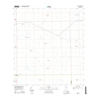
2015 Map of Felda SE
USGS Topo · Published 2015About this map
Wild Cow Island and Roney Island rise from the low-lying wetlands of southern Florida in this 2015 study of the borderlands between Hendry and Collier counties. This landscape is defined by its subtle variations in elevation, where slightly higher ground forms named "islands" such as Butterfly Island, Grasshopper Island, and Dog Island within a matrix of seasonally flooded sloughs. The drainage patterns are traced through Lime Slough and Hooper Slough, which dictate the local ecology and historical land use. Human activity is largely confined to the periphery, with the straight lines of Cr-832 and Loop Rd cutting across the natural terrain, while Collins Slough Rd follows the eastern edge of the quadrangle. These routes provide rare access into a region where the natural environment still dominates the map.
Find a feature on this map
12 named features on this map. Tap any name to fly to it.
Don’t see what you’re looking for? This feature index may not catch every label — zoom into the map to look around manually.
Map Details
Editions of this 2015 Felda SE Map
This is the sole edition of this map. No revisions or reprints were ever made.
Other maps of this area

1956 · West Palm Beach
USGS Topo · 1:250,000

1957 · West Palm Beach
USGS Topo · 1:250,000

1958 · West Palm Beach
USGS Topo · 1:250,000

1958 · Felda SE
USGS Topo · 1:24,000

1958 · Immokalee
USGS Topo · 1:24,000

1958 · Felda
USGS Topo · 1:24,000

1958 · Immokalee NE
USGS Topo · 1:24,000

1958 · Felda NE
USGS Topo · 1:24,000

1958 · Sears
USGS Topo · 1:24,000

1970 · La Belle 4 NW
USGS Topo · 1:24,000