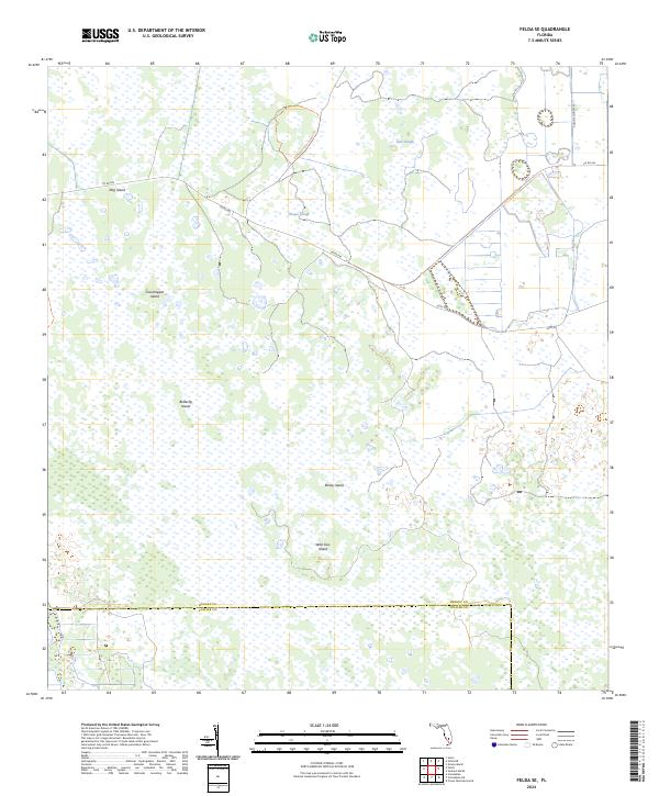
2024 Map of Felda SE
USGS Topo · Published 2024About this map
Okaloacoochee Slough Trl winds through a landscape dominated by the intricate wetland systems of south-central Florida. This 2024 survey documents a region where slight variations in elevation create terrestrial "islands" amidst the sprawling marshes, such as Dog Island, Grasshopper Island, and Butterfly Island. The drainage patterns are defined by slow-moving waterways including Hooper Slough, Lime Slough, and Collins Slough, which illustrate the natural hydrology of the area before modern development altered much of the surrounding Everglades ecosystem.
Find a feature on this map
21 named features on this map. Tap any name to fly to it.
Don’t see what you’re looking for? This feature index may not catch every label — zoom into the map to look around manually.
Map Details
Editions of this 2024 Felda SE Map
This is the sole edition of this map. No revisions or reprints were ever made.
Other maps of this area

1956 · West Palm Beach
USGS Topo · 1:250,000

1957 · West Palm Beach
USGS Topo · 1:250,000

1958 · West Palm Beach
USGS Topo · 1:250,000

1958 · Felda SE
USGS Topo · 1:24,000

1958 · Immokalee
USGS Topo · 1:24,000

1958 · Felda
USGS Topo · 1:24,000

1958 · Immokalee NE
USGS Topo · 1:24,000

1958 · Felda NE
USGS Topo · 1:24,000

1958 · Sears
USGS Topo · 1:24,000

1970 · La Belle 4 NW
USGS Topo · 1:24,000