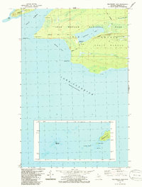
1985 Map of Feldtmann Lake
USGS Topo · Published 1986About this map
Isle Royale National Park occupies this landscape at the southwestern edge of the island, where the terrain rises from the Lake Superior shoreline to the prominent Feldtmann Ridge. This 1985 survey, based on field checks from the previous year, captures the area’s character as a primitive wilderness shaped by glacial topography. The interior is dominated by Feldtmann Lake, which is connected to the coast by the Feldtmann Trail and serves as a focal point for the Feldtmann Lake Campground.
Find a feature on this map
27 named features on this map. Tap any name to fly to it.
Don’t see what you’re looking for? This feature index may not catch every label — zoom into the map to look around manually.
Map Details
Editions of this 1985 Feldtmann Lake Map
This is the sole edition of this map. No revisions or reprints were ever made.
Other maps of this area

1958 · Hancock
USGS Topo · 1:250,000

1960 · Hancock
USGS Topo · 1:250,000

1961 · Hancock
USGS Topo · 1:250,000

1966 · Hancock
USGS Topo · 1:250,000

1985 · Grand Portage
USGS Topo · 1:100,000
1985 · Feldtmann Ridge
USGS Topo · 1:24,000
1985 · Windigo
USGS Topo · 1:24,000
1985 · Sugar Mountain
USGS Topo · 1:24,000
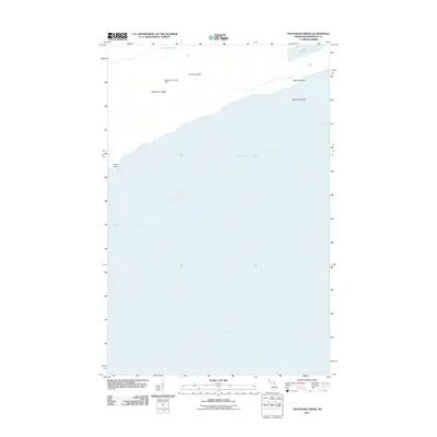
2011 · Feldtmann Ridge
USGS Topo · 1:24,000
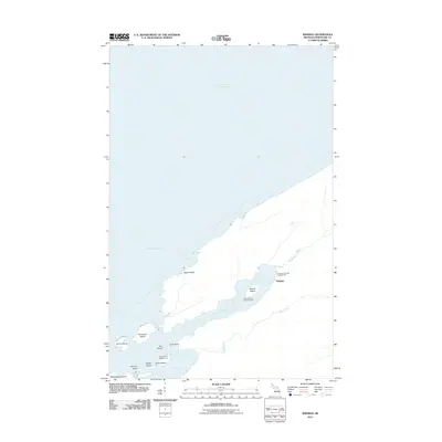
2011 · Windigo
USGS Topo · 1:24,000