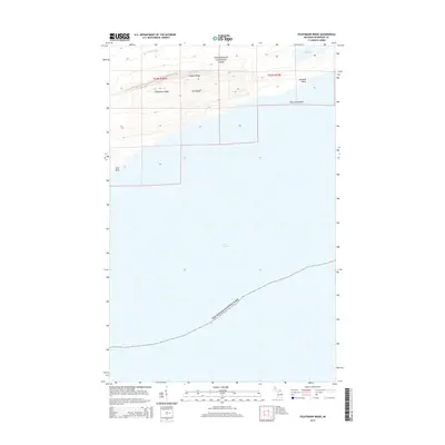
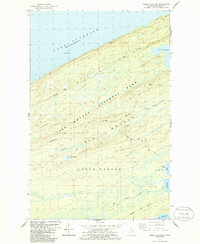
2014 Map of Feldtmann Ridge
USGS Topo · Published 2014About this map
Isle Royale National Park occupies this remote portion of the Lake Superior archipelago, defined by the parallel elevations of Feldtmann Ridge and Coyote Ridge. These dramatic geologic formations reflect the volcanic and glacial history of the island, creating a corridor of interior wilderness between the northern and southern coastlines. The interior landscape is marked by the presence of Lake Halloran and the winding course of the Big Siskiwit River, which drains toward the larger water body to the north.
Find a feature on this map
12 named features on this map. Tap any name to fly to it.
Don’t see what you’re looking for? This feature index may not catch every label — zoom into the map to look around manually.
Map Details
Editions of this 2014 Feldtmann Ridge Map
This is the sole edition of this map. No revisions or reprints were ever made.
Other maps of this area

1958 · Hancock
USGS Topo · 1:250,000

1960 · Hancock
USGS Topo · 1:250,000

1961 · Hancock
USGS Topo · 1:250,000

1966 · Hancock
USGS Topo · 1:250,000

1985 · Siskiwit Bay
USGS Topo · 1:100,000

1985 · Grand Portage
USGS Topo · 1:100,000
1985 · Feldtmann Ridge
USGS Topo · 1:24,000
1985 · Feldtmann Lake
USGS Topo · 1:24,000
1985 · Windigo
USGS Topo · 1:24,000
1985 · Sugar Mountain
USGS Topo · 1:24,000