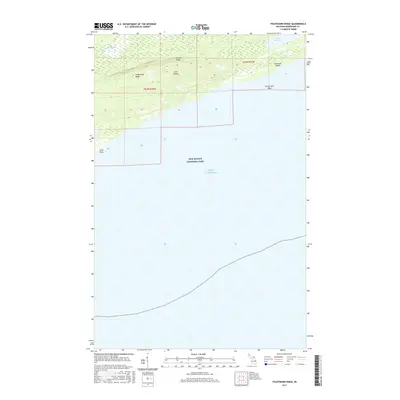
2017 Map of Feldtmann Ridge
USGS Topo · Published 2017About this map
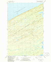
Isle Royale National Park dominates this southwest portion of the island, where the land rises into the distinct parallel elevations of Feldtmann Ridge and Coyote Ridge. This 2017 survey captures the wilderness character of the Keweenaw County shoreline, featuring the outlet of the Big Siskiwit River as it meets the northern coast. The landscape is defined by its isolation within Lake Superior, showing the intricate topography of the island's interior including Lake Halloran. Coastal landmarks such as Attwood Beach, McCormick Reef, and Long Point mark the interface between the wooded ridges and the open water, providing essential detail for those studying the island's unique geomorphology and protected wilderness boundaries.
Find a feature on this map
12 named features on this map. Tap any name to fly to it.
Don’t see what you’re looking for? This feature index may not catch every label — zoom into the map to look around manually.
Map Details
Editions of this 2017 Feldtmann Ridge Map
This is the sole edition of this map. No revisions or reprints were ever made.
Other maps of this area

1958 · Hancock
USGS Topo · 1:250,000

1960 · Hancock
USGS Topo · 1:250,000

1961 · Hancock
USGS Topo · 1:250,000

1966 · Hancock
USGS Topo · 1:250,000

1985 · Siskiwit Bay
USGS Topo · 1:100,000

1985 · Grand Portage
USGS Topo · 1:100,000
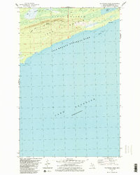
1985 · Feldtmann Ridge
USGS Topo · 1:24,000
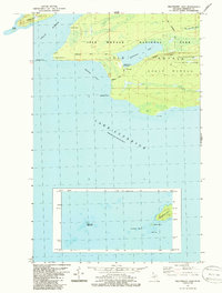
1985 · Feldtmann Lake
USGS Topo · 1:24,000
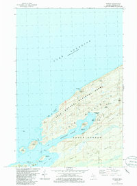
1985 · Windigo
USGS Topo · 1:24,000
1985 · Sugar Mountain
USGS Topo · 1:24,000