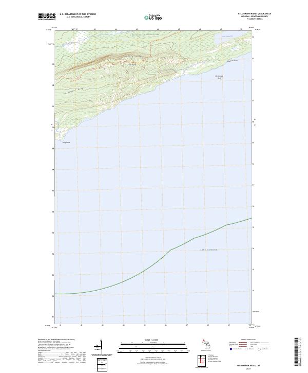
2023 Map of Feldtmann Ridge
USGS Topo · Published 2023About this map
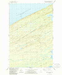
Isle Royale Wilderness dominates this remote shoreline of Isle Royale, where the landscape is defined by the sharp elevations of Feldtmann Ridge and Coyote Ridge. This modern topographic survey illustrates the western reaches of Isle Royale National Park, a territory shaped by the waters of Lake Superior. The interior is marked by the winding course of the Big Siskiwit River and the isolated Lake Halloran. For those navigating the backcountry, the Feldtmann Ridge Trl provides the primary overland route across the high ground, connecting points of interest like Attwood Beach and the coastal projection of Long Point. The map also captures underwater features such as McCormick Reef, essential for understanding the maritime approaches to these rocky shores.
Find a feature on this map
14 named features on this map. Tap any name to fly to it.
Don’t see what you’re looking for? This feature index may not catch every label — zoom into the map to look around manually.
Map Details
Editions of this 2023 Feldtmann Ridge Map
This is the sole edition of this map. No revisions or reprints were ever made.
Other maps of this area

1958 · Hancock
USGS Topo · 1:250,000

1960 · Hancock
USGS Topo · 1:250,000

1961 · Hancock
USGS Topo · 1:250,000

1966 · Hancock
USGS Topo · 1:250,000

1985 · Siskiwit Bay
USGS Topo · 1:100,000

1985 · Grand Portage
USGS Topo · 1:100,000
1985 · Feldtmann Ridge
USGS Topo · 1:24,000
1985 · Feldtmann Lake
USGS Topo · 1:24,000
1985 · Windigo
USGS Topo · 1:24,000
1985 · Sugar Mountain
USGS Topo · 1:24,000