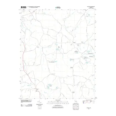
2011 Map of Felton
USGS Topo · Published 2011About this map
Felton anchors the southwest corner of this Northwest Georgia landscape, where the Felton Post Office and Felton Cemetery serve as local touchstones. The terrain is defined by the significant rise of Cobb Mountain and Hightower Mountain, which overlook a network of creek-fed lakes and small rural settlements like Youngs and Antioch. The map reveals a high concentration of water management features, including several dams such as the Euharlee Creek Structure Number Four Dam and Hightower Lake Dam Number One.
Find a feature on this map
94 named features on this map. Tap any name to fly to it.
Don’t see what you’re looking for? This feature index may not catch every label — zoom into the map to look around manually.
Map Details
Editions of this 2011 Felton Map
This is the sole edition of this map. No revisions or reprints were ever made.
Other maps of this area

1886 · Rome
USGS Topo · 1:125,000

1889 · Tallapoosa
USGS Topo · 1:125,000

1892 · Tallapoosa
USGS Topo · 1:125,000

1897 · Tallapoosa
USGS Topo · 1:125,000

1898 · Rome
USGS Topo · 1:125,000

1899 · Rome
USGS Topo · 1:125,000

1904 · Rome
USGS Topo · 1:125,000

1953 · Atlanta
USGS Topo · 1:250,000

1955 · Rome
USGS Topo · 1:250,000

1957 · Atlanta
USGS Topo · 1:250,000