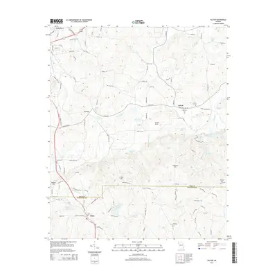
2014 Map of Felton
USGS Topo · Published 2014About this map
The boundary line between Polk Co and Haralson Co splits this rural Georgia landscape, anchored by the settlement of Felton at the southern edge. The terrain is defined by a series of distinct peaks including Dugdown Mtn, Cobb Mtn, and Everett Mtn, which overlook a network of creek valleys and small lakes. In the north, the southern outskirts of Cedartown give way to the smaller communities of Youngs and Antioch, connected by historic thoroughfares like Antioch Rd.
Find a feature on this map
114 named features on this map. Tap any name to fly to it.
Don’t see what you’re looking for? This feature index may not catch every label — zoom into the map to look around manually.
Map Details
Editions of this 2014 Felton Map
This is the sole edition of this map. No revisions or reprints were ever made.
Other maps of this area

1886 · Rome
USGS Topo · 1:125,000

1889 · Tallapoosa
USGS Topo · 1:125,000

1892 · Tallapoosa
USGS Topo · 1:125,000

1897 · Tallapoosa
USGS Topo · 1:125,000

1898 · Rome
USGS Topo · 1:125,000

1899 · Rome
USGS Topo · 1:125,000

1904 · Rome
USGS Topo · 1:125,000

1953 · Atlanta
USGS Topo · 1:250,000

1955 · Rome
USGS Topo · 1:250,000

1957 · Atlanta
USGS Topo · 1:250,000