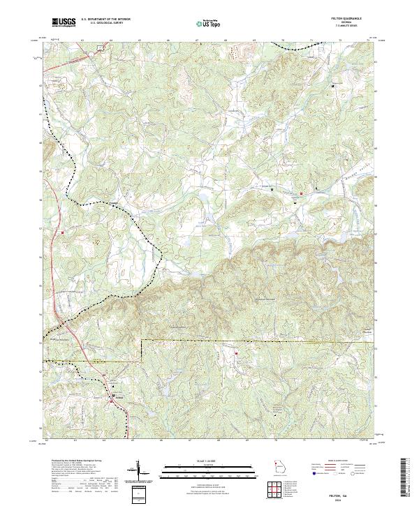
2024 Map of Felton
USGS Topo · Published 2024About this map
Cobb Mountain and Hightower Mountain dominate the terrain of this West Georgia landscape, situated along the county line between Polk Co and Haralson Co. The settlement of Felton serves as a local focal point in the south, while the community of Youngs is positioned further north. The map is particularly rich in family and community history, documenting numerous burial sites including the Felton Cem, Antioch Cem, and Simpson Cem.
Find a feature on this map
111 named features on this map. Tap any name to fly to it.
Don’t see what you’re looking for? This feature index may not catch every label — zoom into the map to look around manually.
Map Details
Editions of this 2024 Felton Map
This is the sole edition of this map. No revisions or reprints were ever made.
Other maps of this area

1886 · Rome
USGS Topo · 1:125,000

1889 · Tallapoosa
USGS Topo · 1:125,000

1892 · Tallapoosa
USGS Topo · 1:125,000

1897 · Tallapoosa
USGS Topo · 1:125,000

1898 · Rome
USGS Topo · 1:125,000

1899 · Rome
USGS Topo · 1:125,000

1904 · Rome
USGS Topo · 1:125,000

1953 · Atlanta
USGS Topo · 1:250,000

1955 · Rome
USGS Topo · 1:250,000

1957 · Atlanta
USGS Topo · 1:250,000