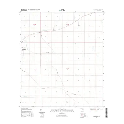
2015 Map of Fenholloway
USGS Topo · Published 2015About this map
Fenholloway sits along the Fenholloway River in Taylor County, a region defined by its rural road networks and scattered landmarks. The landscape is marked by family-named routes such as George Connell Rd, James Beathea Rd, and Connell Cemetery Rd, indicating the deep-rooted local history of this Florida timber and agricultural corridor. The presence of the Circle P Airport and several low-lying watercourses like Middle Warrior Cr illustrates the intersection of small-scale aviation and the wet, swampy terrain characteristic of the Gulf coastal plain.
Find a feature on this map
18 named features on this map. Tap any name to fly to it.
Don’t see what you’re looking for? This feature index may not catch every label — zoom into the map to look around manually.
Map Details
Editions of this 2015 Fenholloway Map
This is the sole edition of this map. No revisions or reprints were ever made.
Other maps of this area

1954 · Fenholloway
USGS Topo · 1:24,000

1954 · Day SE
USGS Topo · 1:24,000

1954 · Day
USGS Topo · 1:24,000

1954 · Cooks Hammock
USGS Topo · 1:24,000

1954 · Warrior Swamp
USGS Topo · 1:24,000

1954 · Salem
USGS Topo · 1:24,000

1954 · Boyd
USGS Topo · 1:24,000

1954 · Day NW
USGS Topo · 1:24,000

1954 · Gainesville
USGS Topo · 1:250,000

1954 · Valdosta
USGS Topo · 1:250,000