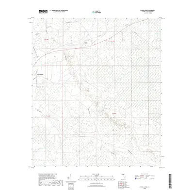
2018 Map of Fenholloway
USGS Topo · Published 2018About this map
The Fenholloway River and Middle Warrior Cr define the drainage of this Taylor County landscape, which is characterized by extensive wetlands and sogs. The small settlement of Fenholloway sits in the northwest, near the intersection of several local routes. A significant portion of the eastern terrain is occupied by the San Pedro Bay, an area of low-lying wetlands that includes named features like Blue Sog and Fire Pan Sog. This 2018 survey reveals a territory primarily managed for timber or conservation, evidenced by the dense network of forest roads such as Doyle Padgett Rd, Cooks Hammock Rd, and SW Main Bay Canal Grd. Aviation is represented by the Circle P Airport located centrally near the river, while the southern reaches of the quadrangle feature The Meadows and Crawford Sog.
Find a feature on this map
30 named features on this map. Tap any name to fly to it.
Don’t see what you’re looking for? This feature index may not catch every label — zoom into the map to look around manually.
Map Details
Editions of this 2018 Fenholloway Map
This is the sole edition of this map. No revisions or reprints were ever made.
Other maps of this area

1954 · Fenholloway
USGS Topo · 1:24,000

1954 · Day SE
USGS Topo · 1:24,000

1954 · Day
USGS Topo · 1:24,000

1954 · Cooks Hammock
USGS Topo · 1:24,000

1954 · Warrior Swamp
USGS Topo · 1:24,000

1954 · Salem
USGS Topo · 1:24,000

1954 · Boyd
USGS Topo · 1:24,000

1954 · Day NW
USGS Topo · 1:24,000

1954 · Gainesville
USGS Topo · 1:250,000

1954 · Valdosta
USGS Topo · 1:250,000