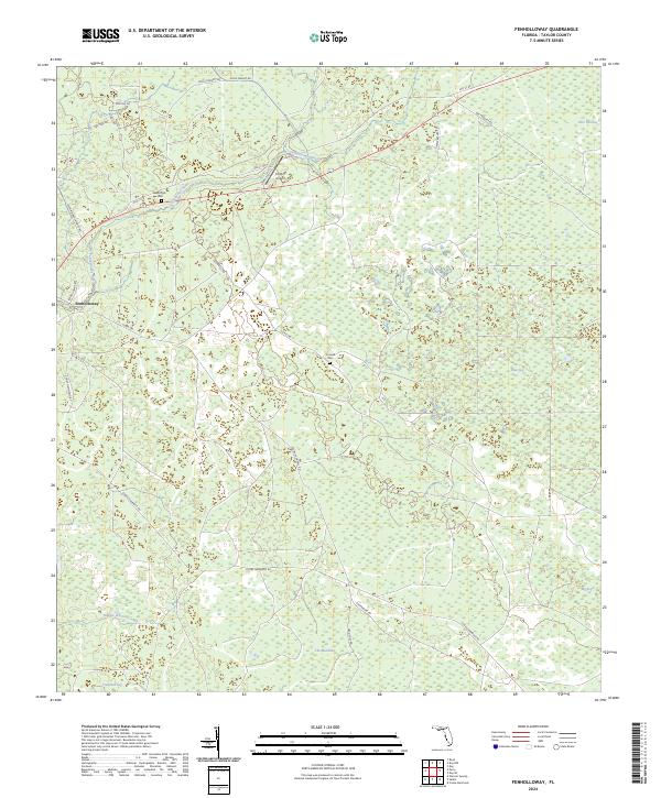
2024 Map of Fenholloway
USGS Topo · Published 2024About this map
Fenholloway River and Middle Warrior Creek drain a landscape of dense wetlands and forest in Taylor County, characterized by numerous "sog" terrain features. This area is defined by its rural isolation and a network of named tracks such as Cooks Hammock Rd and Rodenbury Rd that navigate the low-lying ground. Small family landmarks and local infrastructure, including the Circle P Airport and Lipscomb Cem, are scattered across the township lines. The abundance of swampy terrain is evident in features like Fire Pan Sog, Blue Sog, and Big Sog, which dominate the eastern half of the quadrangle. For those studying local lineage, the presence of the Connell Cem near Cornel Rd provides a specific point of historical interest within The Meadows region.
Find a feature on this map
28 named features on this map. Tap any name to fly to it.
Don’t see what you’re looking for? This feature index may not catch every label — zoom into the map to look around manually.
Map Details
Editions of this 2024 Fenholloway Map
This is the sole edition of this map. No revisions or reprints were ever made.
Other maps of this area

1954 · Fenholloway
USGS Topo · 1:24,000

1954 · Day SE
USGS Topo · 1:24,000

1954 · Day
USGS Topo · 1:24,000

1954 · Cooks Hammock
USGS Topo · 1:24,000

1954 · Warrior Swamp
USGS Topo · 1:24,000

1954 · Salem
USGS Topo · 1:24,000

1954 · Boyd
USGS Topo · 1:24,000

1954 · Day NW
USGS Topo · 1:24,000

1954 · Gainesville
USGS Topo · 1:250,000

1954 · Valdosta
USGS Topo · 1:250,000