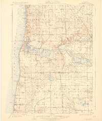
1931 Map of Fennville
USGS Topo · Published 1931About this map
Lake Michigan's eastern shore defines the western edge of this 1928 survey, where the Kalamazoo River winds through its delta and into the harbor between Saugatuck and Douglas. The landscape is a mosaic of fruit orchards and small rural school districts, such as Peach Belt Sch and Macks Landing Sch, reflecting the agricultural character of Allegan County during the early 20th century.
Find a feature on this map
99 named features on this map. Tap any name to fly to it.
Don’t see what you’re looking for? This feature index may not catch every label — zoom into the map to look around manually.
Map Details
Editions of this 1931 Fennville Map
4 editions found
Other maps of this area

1927 · Bangor
USGS Topo · 1:62,500

1927 · South Haven
USGS Topo · 1:62,500

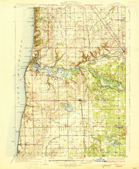
1928 · Fennville
USGS Topo · 1:62,500

1929 · Holland
USGS Topo · 1:62,500

1930 · South Haven
USGS Topo · 1:62,500

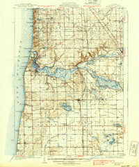
1931 · Fennville
USGS Topo · 1:62,500

1931 · Bangor
USGS Topo · 1:62,500

1932 · Holland
USGS Topo · 1:62,500

1943 · South Haven
USGS Topo · 1:62,500

1943 · Bangor
USGS Topo · 1:62,500