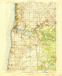
1931 Map of Fennville
USGS Topo · Published 1931About this map
The Kalamazoo River winds through this coastal landscape, meeting the shoreline at Saugatuck and Douglas where it forms Kalamazoo Lake. This 1928 survey captures a transition in Michigan's Lake Michigan coast, showing the development of resort and recreational sites like Camp Gray, Castle Park, and the Pottawattomie Gun Club alongside established farming communities. Inland, the landscape is defined by the Pere Marquette Road railway and the intricate drainage of the Rabbit River and Black River.
Find a feature on this map
97 named features on this map. Tap any name to fly to it.
Don’t see what you’re looking for? This feature index may not catch every label — zoom into the map to look around manually.
Map Details
Editions of this 1931 Fennville Map
4 editions found
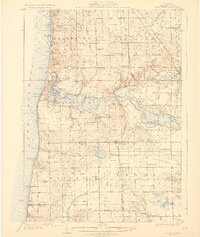
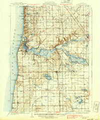
Other maps of this area

1927 · Bangor
USGS Topo · 1:62,500

1927 · South Haven
USGS Topo · 1:62,500

1928 · Fennville
USGS Topo · 1:62,500

1929 · Holland
USGS Topo · 1:62,500

1930 · South Haven
USGS Topo · 1:62,500

1931 · Fennville
USGS Topo · 1:62,500

1931 · Bangor
USGS Topo · 1:62,500

1932 · Holland
USGS Topo · 1:62,500

1943 · South Haven
USGS Topo · 1:62,500

1943 · Bangor
USGS Topo · 1:62,500