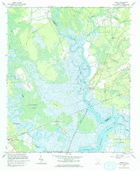
1960 Map of Fenwick
USGS Topo · Published 1964About this map
The Edisto River snakes through the Lowcountry on this coastal survey, defining the boundary between Charleston and Colleton counties. This landscape is a complex network of waterways and marshlands, where the Ashepoo River and Dawho River converge amid expansive features like Snuggedy Swamp. Human settlement is clustered on higher ground at sites such as Willtown Bluff and the namesake community of Fenwick.
Find a feature on this map
32 named features on this map. Tap any name to fly to it.
Don’t see what you’re looking for? This feature index may not catch every label — zoom into the map to look around manually.
Map Details
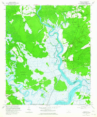
Editions of this 1960 Fenwick Map
2 editions found
Other maps of this area

1918 · Walterboro
USGS Topo · 1:62,500

1918 · Green Pond
USGS Topo · 1:62,500

1918 · Cottageville
USGS Topo · 1:62,500

1919 · Edisto Island
USGS Topo · 1:62,500

1943 · Cottageville
USGS Topo · 1:62,500

1943 · Edisto Island
USGS Topo · 1:62,500

1943 · Green Pond
USGS Topo · 1:62,500

1943 · Walterboro
USGS Topo · 1:62,500

1947 · Savannah
USGS Topo · 1:250,000

1948 · Savannah
USGS Topo · 1:250,000