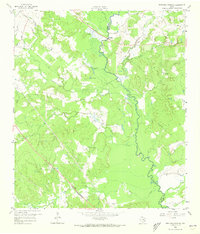
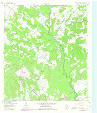
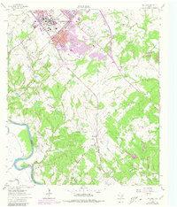
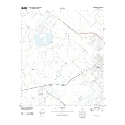
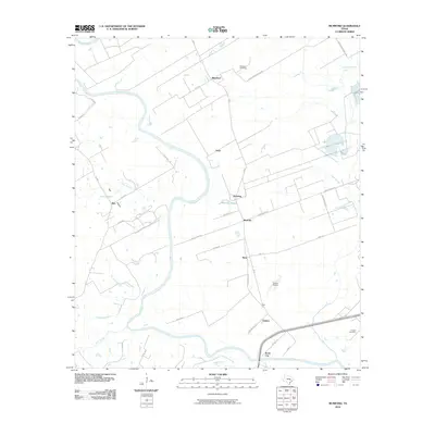
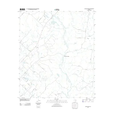
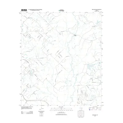
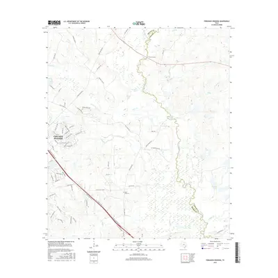
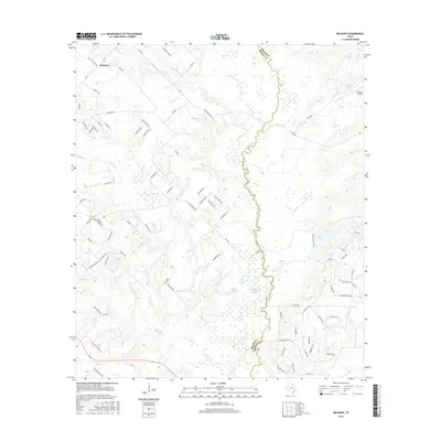
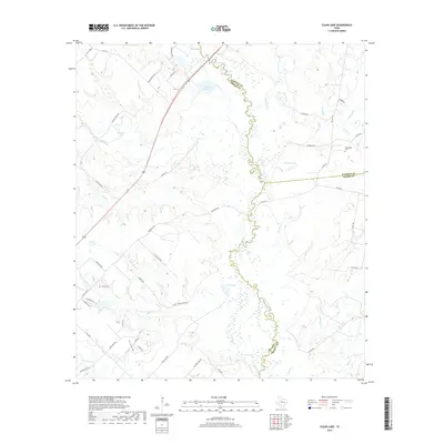
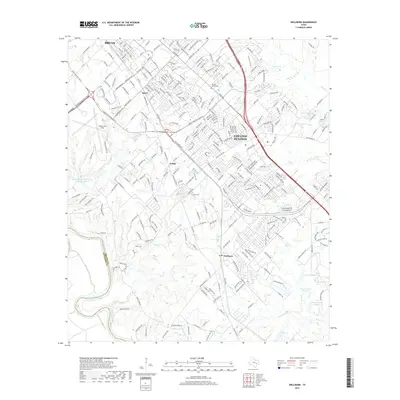
1959 Map of Ferguson Crossing
USGS Topo · Published 1973About this map
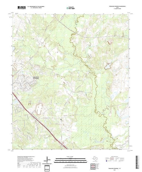
The Navasota River meanders through the central corridor of this landscape, defining the boundary between Brazos and Grimes Counties during the late 1950s. The area is characterized by a dense network of water features, including oxbow formations like Tonkaway Lake and Brushy Lake, and numerous named tributaries such as Wickson, Carters, and Peach Creek. Human settlement is sparse and concentrated near the historical Ferguson Crossing, with land use patterns indicated by the presence of a Rodeo Ground and scattered Gravel Pits. The topography reveals a rural Texas environment where natural springs like Sulphur Spring and Lamb Spring provided essential water sources. Genealogists may find interest in the Peach Creek Cem located in the southern portion of the quadrangle, reflecting the small community hubs that anchored this riverine region before further modern development.
Find a feature on this map
23 named features on this map. Tap any name to fly to it.
Don’t see what you’re looking for? This feature index may not catch every label — zoom into the map to look around manually.
Map Details
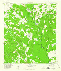
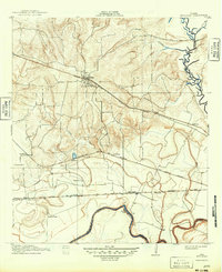
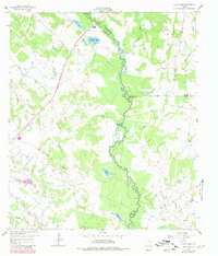
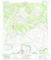
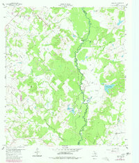
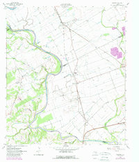
Editions of this 1959 Ferguson Crossing Map
Historical Maps of College Station Through Time
49 maps found
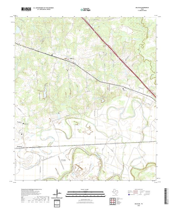
1913 Millican
Brazos County, TX
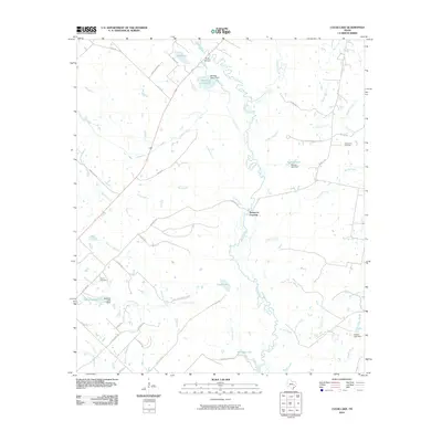
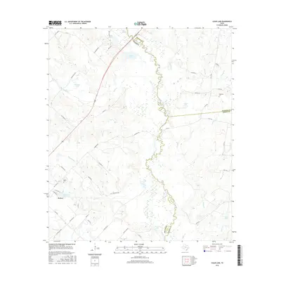
1959 Clear Lake
Brazos County, TX
1959 Ferguson Crossing
Brazos County, TX
1959 Millican
Brazos County, TX
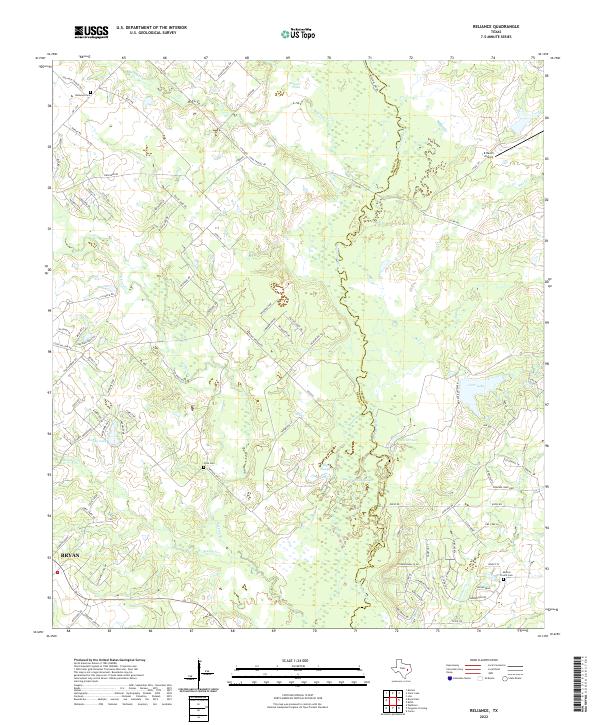
1959 Reliance
Brazos County, TX
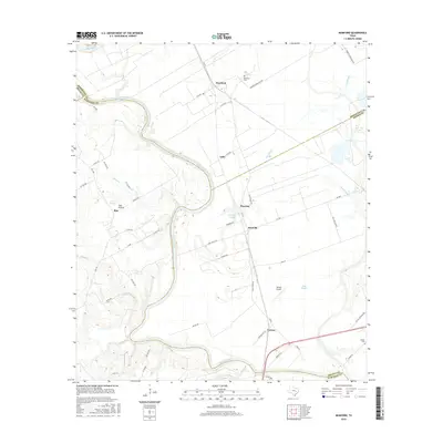
1961 Mumford
Brazos County, TX
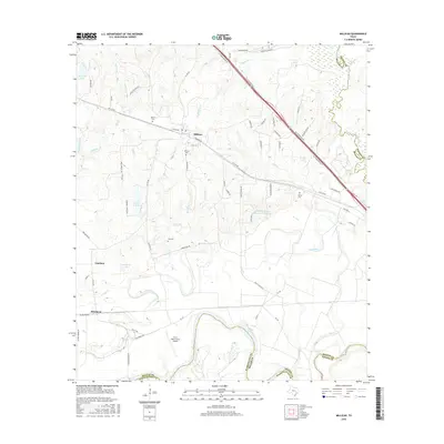
1961 Wellborn
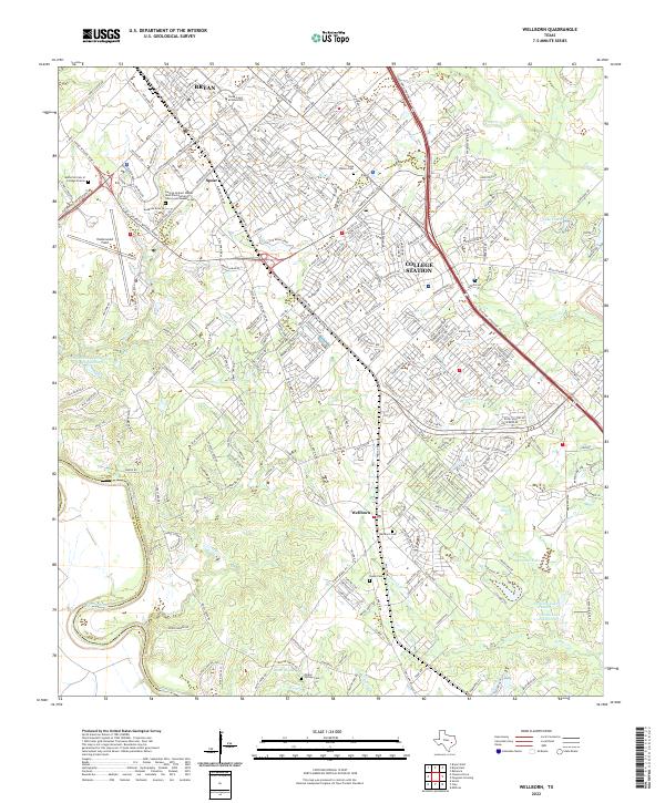
Brazos County, TX
1962 Bryan East
Brazos County, TX
1962 Bryan West
Brazos County, TX
2010 Bryan East
Brazos County, TX
2010 Bryan West
Brazos County, TX
2010 Clear Lake
Brazos County, TX
2010 Ferguson Crossing
Brazos County, TX
2010 Millican
Brazos County, TX
2010 Mumford
Brazos County, TX
2010 Reliance
Brazos County, TX
2010 Wellborn
Brazos County, TX
2013 Bryan East
Brazos County, TX

2013 Bryan West
Brazos County, TX
2013 Clear Lake
Brazos County, TX
2013 Ferguson Crossing
Brazos County, TX
2013 Millican
Brazos County, TX
2013 Mumford
Brazos County, TX
2013 Reliance
Brazos County, TX
2013 Wellborn
Brazos County, TX
2016 Bryan East
Brazos County, TX
2016 Bryan West
Brazos County, TX
2016 Clear Lake
Brazos County, TX
2016 Ferguson Crossing
Brazos County, TX
2016 Millican
Brazos County, TX
2016 Mumford
Brazos County, TX
2016 Reliance
Brazos County, TX
2016 Wellborn
Brazos County, TX
2019 Bryan East
Brazos County, TX
2019 Bryan West
Brazos County, TX
2019 Clear Lake
Brazos County, TX
2019 Ferguson Crossing
Brazos County, TX

2019 Millican
Brazos County, TX
2019 Mumford
Brazos County, TX
2019 Reliance
Brazos County, TX
2019 Wellborn
Brazos County, TX
2022 Bryan East
Brazos County, TX
2022 Bryan West
Brazos County, TX
2022 Clear Lake
Brazos County, TX
2022 Ferguson Crossing
Brazos County, TX
2022 Millican
Brazos County, TX
2022 Mumford
Brazos County, TX
2022 Reliance
Brazos County, TX
2022 Wellborn
Brazos County, TX