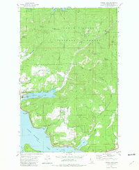
1981 Map of Fernan Lake
USGS Topo · Published 1981About this map
Dalton Gardens and the eastern fringes of the urban landscape meet the forested slopes of the Idaho Panhandle in this topographic study from the early 1980s. The terrain is defined by the significant elevation gain from the lakeside communities toward the interior highlands, where the southern reaches of Hayden Lake touch the northern boundary of the map. This area represents a period of residential expansion and transition, showing the established roads of Best Hill and the shoreline developments of Silver Beach. The map details the intricate relationship between the developing residential areas and the managed timberlands of the surrounding forest, capturing a specific moment in the growth of Kootenai County before late-twentieth-century suburbanization further altered the landscape.
Find a feature on this map
4 named features on this map. Tap any name to fly to it.
Don’t see what you’re looking for? This feature index may not catch every label — zoom into the map to look around manually.
Map Details
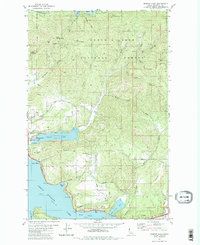
Editions of this 1981 Fernan Lake Map
2 editions found
Other maps of this area

1903 · Rathdrum
USGS Topo · 1:125,000

1955 · Spokane
USGS Topo · 1:250,000

1957 · Coeur D'Alene
USGS Topo · 1:62,500

1957 · Lane
USGS Topo · 1:62,500

1958 · Spokane
USGS Topo · 1:250,000

1961 · Hayden
USGS Topo · 1:24,000

1961 · Spirit Lake
USGS Topo · 1:62,500

1961 · Athol
USGS Topo · 1:62,500

1961 · Hayden Lake
USGS Topo · 1:24,000

1975 · Coeur D'Alene SE
USGS Topo · 1:24,000