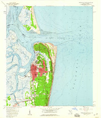
1958 Map of Fernandina Beach
USGS Topo · Published 1959About this map
Amelia Island and its northern tip at Fort Clinch State Park dominate this coastal survey, where the Atlantic Ocean meets the complex waterways of the Florida-Georgia border. The city of Fernandina Beach is shown in detail, including its historical core at Old Fernandina and the established street grid containing the Courthouse, Nassau General Hospital, and Peck High Sch. The maritime character of the region is evident through the winding path of the Intracoastal Waterway and the protective Jetty structures guarding the St Marys Entrance.
Find a feature on this map
49 named features on this map. Tap any name to fly to it.
Don’t see what you’re looking for? This feature index may not catch every label — zoom into the map to look around manually.
Map Details
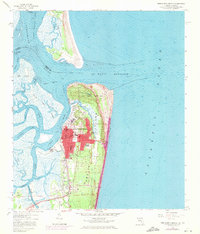
Editions of this 1958 Fernandina Beach Map
2 editions found
Other maps of this area

1918 · St Marys
USGS Topo · 1:62,500

1918 · Cumberland Island
USGS Topo · 1:62,500

1918 · Kingsland
USGS Topo · 1:62,500

1919 · Fernandina
USGS Topo · 1:62,500

1919 · St Marys
USGS Topo · 1:62,500

1930 · Cumberland Island
USGS Topo · 1:62,500

1944 · Fernandina
USGS Topo · 1:62,500

1945 · Cumberland Island
USGS Topo · 1:62,500

1948 · Jacksonville
USGS Topo · 1:250,000

1957 · Jacksonville
USGS Topo · 1:250,000