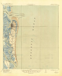
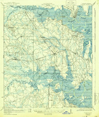
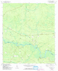
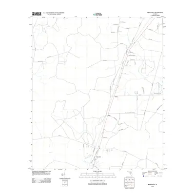
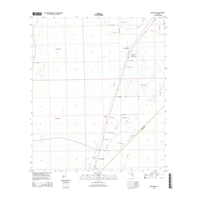
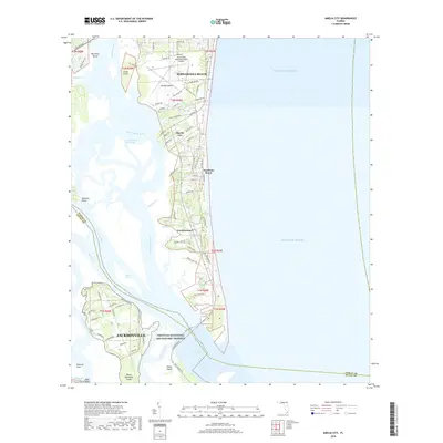
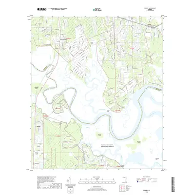
1919 Map of Fernandina
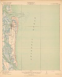
USGS Topo · Published 1945About this map
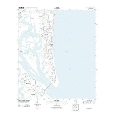
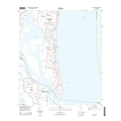
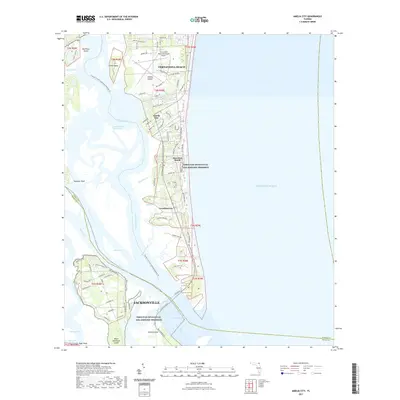
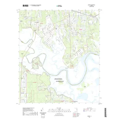
Amelia Island serves as the focal point of this coastal survey, where the grid of Fernandina and the historic site of Old Fernandina meet the complex waterways of the St Marys R and Amelia River. At the northern tip of the island, Ft Clinch stands guard near the U S Quarantine Sta and the Amelia Island L H, marking a landscape vital to maritime navigation and defense during the early twentieth century. Further south, the settlement of Franklintown represents the island's interior development alongside the Jacksonville Air Line Road.
Find a feature on this map
44 named features on this map. Tap any name to fly to it.
Don’t see what you’re looking for? This feature index may not catch every label — zoom into the map to look around manually.
Map Details
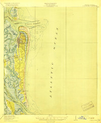
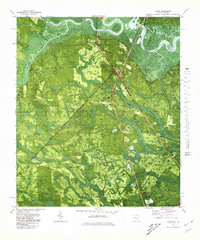
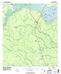
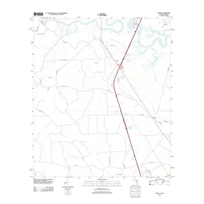
Editions of this 1919 Fernandina Map
4 editions found
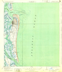
Historical Maps of Jacksonville Through Time
57 maps found

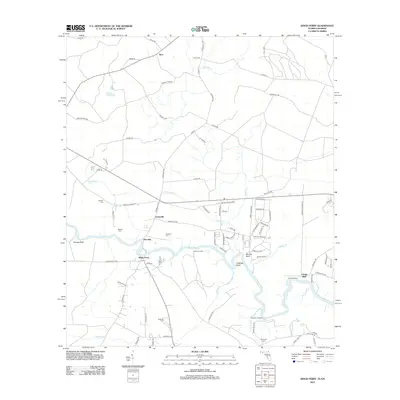
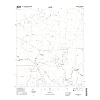
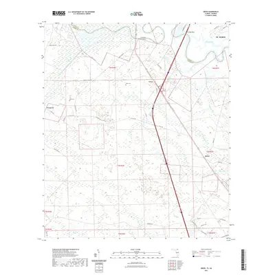
1918 St Marys
Nassau County, FL
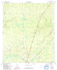
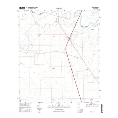
1919 Fernandina
Nassau County, FL
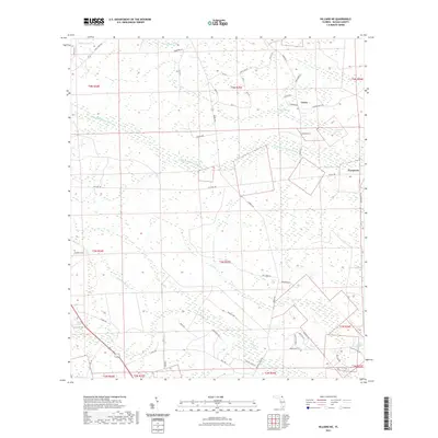
1919 St Marys
Nassau County, FL

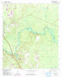
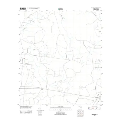
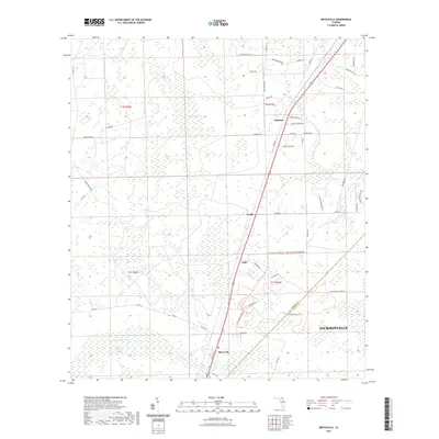
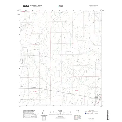
1944 Fernandina
Nassau County, FL
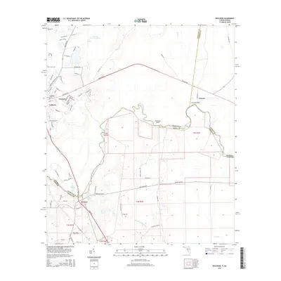
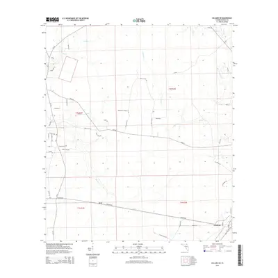
1958 Amelia City
Nassau County, FL
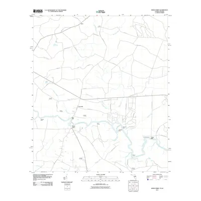
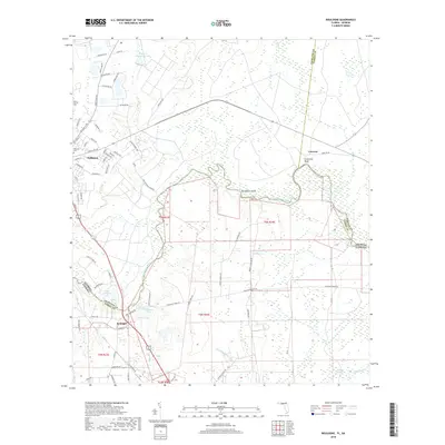
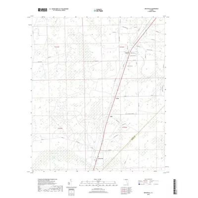
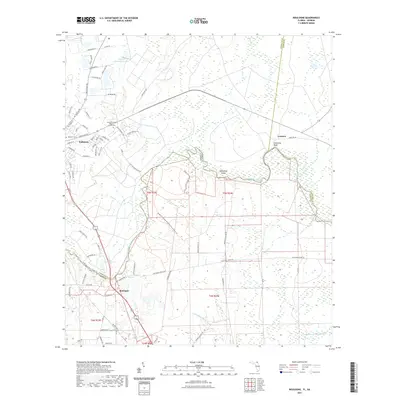
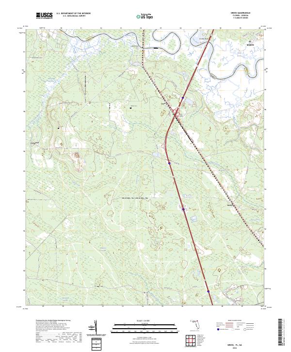
1958 Gross
Nassau County, FL
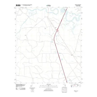
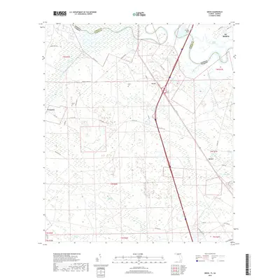
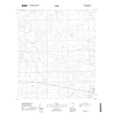
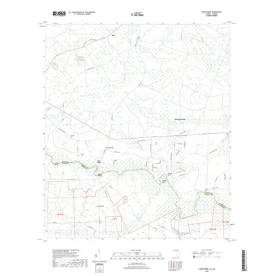
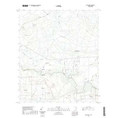
1958 Hedges
Nassau County, FL
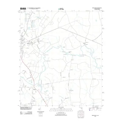
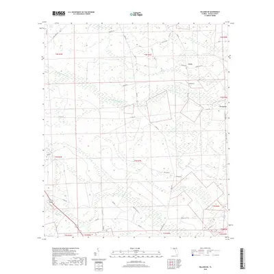
1964 Bryceville
Nassau County, FL
1970 Boulogne
Nassau County, FL
1970 Hilliard NE
Nassau County, FL
1970 Hilliard SW
Nassau County, FL
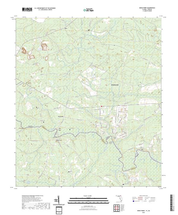
1970 Kings Ferry
Nassau County, FL
1979 Gross
Nassau County, FL
1993 Gross
Nassau County, FL
2011 Boulogne
Nassau County, FL
2011 Gross
Nassau County, FL
2011 Kings Ferry
Nassau County, FL
2012 Amelia City
Nassau County, FL
2012 Boulogne
Nassau County, FL
2012 Bryceville
Nassau County, FL
2012 Gross
Nassau County, FL
2012 Hedges
Nassau County, FL
2012 Hilliard NE
Nassau County, FL
2012 Hilliard SW
Nassau County, FL
2012 Kings Ferry
Nassau County, FL
2015 Amelia City
Nassau County, FL
2015 Boulogne
Nassau County, FL
2015 Bryceville
Nassau County, FL
2015 Gross
Nassau County, FL
2015 Hedges
Nassau County, FL
2015 Hilliard NE
Nassau County, FL
2015 Hilliard SW
Nassau County, FL
2015 Kings Ferry
Nassau County, FL
2018 Amelia City
Nassau County, FL
2018 Boulogne
Nassau County, FL
2018 Bryceville
Nassau County, FL
2018 Gross
Nassau County, FL
2018 Hedges
Nassau County, FL
2018 Hilliard NE
Nassau County, FL
2018 Hilliard SW
Nassau County, FL
2018 Kings Ferry
Nassau County, FL
2021 Amelia City
Nassau County, FL
2021 Boulogne
Nassau County, FL
2021 Bryceville
Nassau County, FL
2021 Gross
Nassau County, FL
2021 Hedges
Nassau County, FL
2021 Hilliard NE
Nassau County, FL
2021 Hilliard SW
Nassau County, FL
2021 Kings Ferry
Nassau County, FL
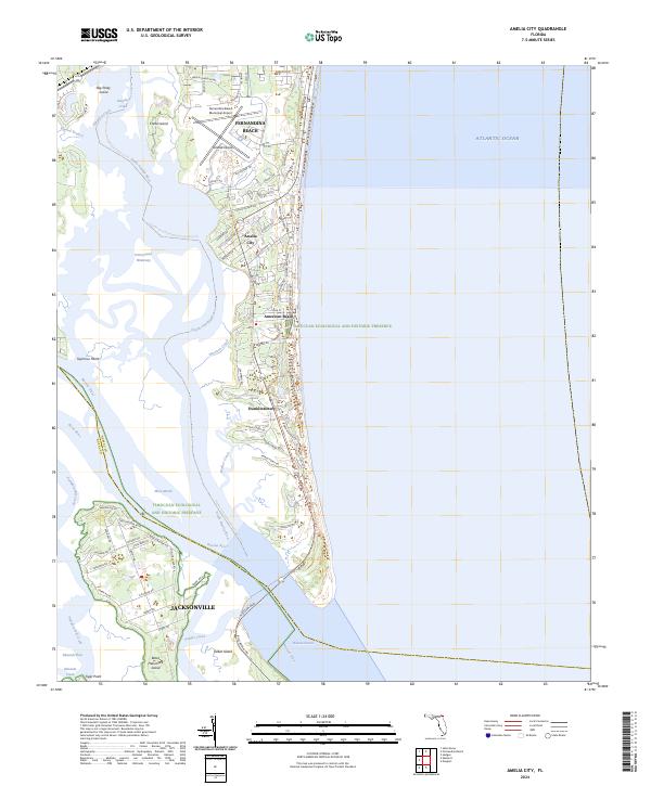
2024 Amelia City
Nassau County, FL
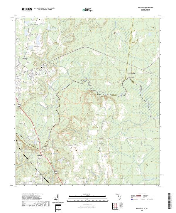
2024 Boulogne
Nassau County, FL

2024 Bryceville
Nassau County, FL
2024 Gross
Nassau County, FL
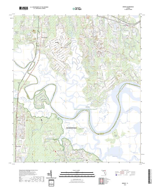
2024 Hedges
Nassau County, FL
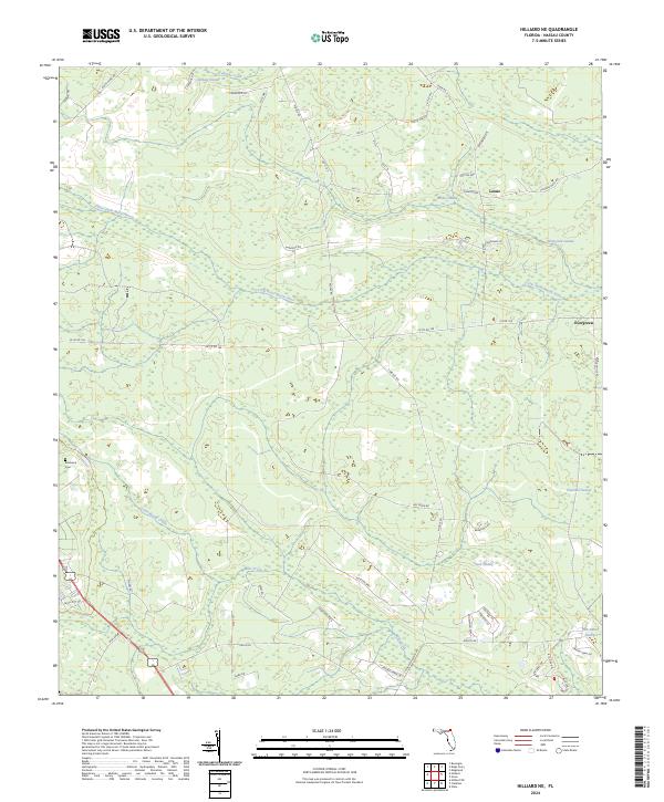
2024 Hilliard NE
Nassau County, FL
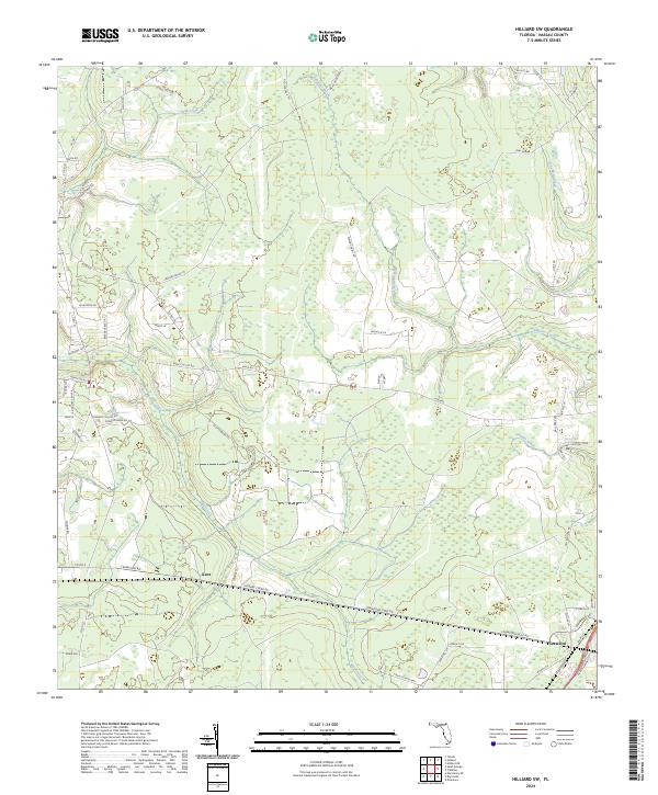
2024 Hilliard SW
Nassau County, FL
2024 Kings Ferry
Nassau County, FL