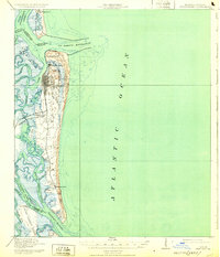
1919 Map of Fernandina
USGS Topo · Published 1932About this map
Fernandina serves as the focal point of this coastal survey, situated where the Amelia River meets the St Marys Entrance. The map highlights the strategic maritime and military importance of the Florida-Georgia border during the early 20th century. To the north of the main settlement, the older town site of Old Fernandina and McClure Hill sit near the historic masonry of Ft Clinch. The industrial and transport landscape is defined by the Seaboard Air Line railroad, which connected the harbor to the interior, and the U S Quarantine Sta near the tip of Amelia Island. A network of tidal waters, including Egan Creek and Lanceford Cr, separates the barrier islands from the mainland. Further south, the map documents the smaller settlement of Franklintown and the Amelia Island L H, offering a look at the island's habitation before significant modern development altered the coastline.
Find a feature on this map
42 named features on this map. Tap any name to fly to it.
Don’t see what you’re looking for? This feature index may not catch every label — zoom into the map to look around manually.
Map Details
Editions of this 1919 Fernandina Map
4 editions found
Other maps of this area

1918 · St Marys
USGS Topo · 1:62,500

1918 · Cumberland Island
USGS Topo · 1:62,500

1918 · Jacksonville
USGS Topo · 1:62,500

1918 · Kingsland
USGS Topo · 1:62,500

1918 · Mayport
USGS Topo · 1:62,500

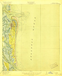
1919 · Fernandina
USGS Topo · 1:62,500

1919 · St Marys
USGS Topo · 1:62,500

1930 · Cumberland Island
USGS Topo · 1:62,500

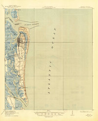
1944 · Fernandina
USGS Topo · 1:62,500

1945 · Cumberland Island
USGS Topo · 1:62,500