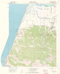
1959 Map of Ferndale
USGS Topo · Published 1961About this map
Ferndale sits at the base of the uplifted Wildcat Ridge, overlooking the expansive alluvial plains of the Eel River and its complex network of sloughs. This 1959 coastal survey reveals a landscape defined by dairy ranching and maritime history, where names like Occidental Ranch, Fulmor Ranch, and Mayflower Ranch dot the fertile lowlands. The importance of the regional waterways is evident in the transition from the Salt River marshes to the bustling streets of Ferndale. Along the coast, the Wreck of Northerner Historical Marker at Centerville Beach serves as a reminder of the treacherous Pacific waters that once shaped local commerce. Inland, the map details the social infrastructure of the mid-century community, from the Island School and St Marys Cemetery to the Fairgrounds, providing a clear look at the area's established rural character.
Find a feature on this map
63 named features on this map. Tap any name to fly to it.
Don’t see what you’re looking for? This feature index may not catch every label — zoom into the map to look around manually.
Map Details
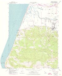
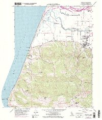
Editions of this 1959 Ferndale Map
3 editions found
Other maps of this area

1916 · Cape Fortunas
USGS Topo · 1:62,500

1919 · Glynn
USGS Topo · 1:62,500

1921 · Cape Mendocino
USGS Topo · 1:62,500

1943 · Ferndale
USGS Topo · 1:62,500

1944 · Fortuna
USGS Topo · 1:62,500

1949 · Eureka
USGS Topo · 1:250,000

1950 · Cape Mendocino
USGS Topo · 1:62,500

1950 · Scotia
USGS Topo · 1:62,500

1951 · Scotia
USGS Topo · 1:62,500

1951 · Cape Mendocino
USGS Topo · 1:62,500