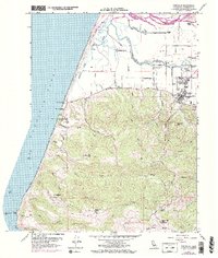
1959 Map of Ferndale
USGS Topo · Published 1974About this map
Ferndale anchor the southeastern corner of this Humboldt County survey, serving as the gateway to the fertile river bottomlands and the steep coastal ridges. The dairy-rich landscape is defined by the Eel River and its intricate distributaries like Cutoff Slough and Centerville Slough. These waterways intersect with ranching landmarks such as Fern Cottage and Occidental Ranch, illustrating the area's agricultural development.
Find a feature on this map
57 named features on this map. Tap any name to fly to it.
Don’t see what you’re looking for? This feature index may not catch every label — zoom into the map to look around manually.
Map Details
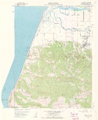
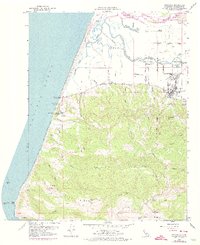
Editions of this 1959 Ferndale Map
3 editions found
Other maps of this area

1916 · Cape Fortunas
USGS Topo · 1:62,500

1919 · Glynn
USGS Topo · 1:62,500

1921 · Cape Mendocino
USGS Topo · 1:62,500

1943 · Ferndale
USGS Topo · 1:62,500

1944 · Fortuna
USGS Topo · 1:62,500

1949 · Eureka
USGS Topo · 1:250,000

1950 · Cape Mendocino
USGS Topo · 1:62,500

1950 · Scotia
USGS Topo · 1:62,500

1951 · Scotia
USGS Topo · 1:62,500

1951 · Cape Mendocino
USGS Topo · 1:62,500