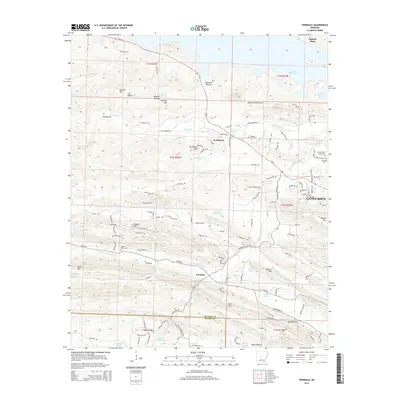
2014 Map of Ferndale
USGS Topo · Published 2014About this map
Ferndale sits at the heart of this 2014 geographic study, marking a transition between the suburban westward expansion of Little Rock and the high ridges of the Ouachita foothills. The landscape is defined by the winding course of the Little Maumelle River and the significant water resource of Lake Maumelle to the north. Distinctive geological features like the Maumelle Pinnacles and several prominent peaks, including Shinall Mountain and Grindstone Mountain, provide a framework for the local road network. Local genealogy is anchored by several rural burial sites, including Pleasant Grove Cemetery and the Browns Valley of Rest Cemetery. The map captures the intersection of Pulaski and Saline counties, illustrating how modern residential developments like Northpoint and small hollows like Bland Hollow coexist within the river valley's complex drainage system.
Find a feature on this map
85 named features on this map. Tap any name to fly to it.
Don’t see what you’re looking for? This feature index may not catch every label — zoom into the map to look around manually.
Map Details
Editions of this 2014 Ferndale Map
This is the sole edition of this map. No revisions or reprints were ever made.
Other maps of this area

1890 · Benton
USGS Topo · 1:125,000

1891 · Little Rock
USGS Topo · 1:125,000

1893 · Little Rock
USGS Topo · 1:125,000

1894 · Benton
USGS Topo · 1:125,000

1935 · Alexander
USGS Topo · 1:48,000

1938 · Benton
USGS Topo · 1:48,000

1941 · Alexander
USGS Topo · 1:62,500

1943 · Pinnacle Mtn
USGS Topo · 1:31,680

1944 · Benton
USGS Topo · 1:62,500

1944 · Alexander
USGS Topo · 1:31,680