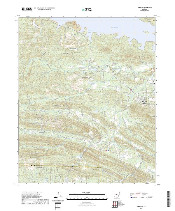
2024 Map of Ferndale
USGS Topo · Published 2024About this map
Ferndale and Northpoint sit at the center of this Pulaski County landscape, where the foothills of the Ouachitas meet the expansive waters of Lake Maumelle. The terrain is defined by a series of prominent peaks and ridges, including the Maumelle Pinnacles and Shinall Mtn, which overlook the winding course of the Little Maumelle River. This contemporary survey highlights the transition from upland ridges to the managed waters of the Maumelle Harbor area, reflecting the modern suburban and recreational character of the region west of Little Rock.
Find a feature on this map
139 named features on this map. Tap any name to fly to it.
Don’t see what you’re looking for? This feature index may not catch every label — zoom into the map to look around manually.
Map Details
Editions of this 2024 Ferndale Map
This is the sole edition of this map. No revisions or reprints were ever made.
Other maps of this area

1890 · Benton
USGS Topo · 1:125,000

1891 · Little Rock
USGS Topo · 1:125,000

1893 · Little Rock
USGS Topo · 1:125,000

1894 · Benton
USGS Topo · 1:125,000

1935 · Alexander
USGS Topo · 1:48,000

1938 · Benton
USGS Topo · 1:48,000

1941 · Alexander
USGS Topo · 1:62,500

1943 · Pinnacle Mtn
USGS Topo · 1:31,680

1944 · Benton
USGS Topo · 1:62,500

1944 · Alexander
USGS Topo · 1:31,680