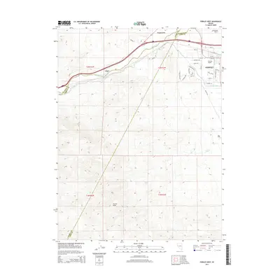
2014 Map of Fernley West
USGS Topo · Published 2014About this map
The Truckee River carves a critical path through this high-desert landscape, defining the northern corridor where the settlements of Wadsworth and Gilpin are established. To the east, the community of Fernley sits at a strategic junction in Fernley Valley, where the man-made Truckee Canal begins its journey south. This infrastructure highlights the historic dependence on water management in the arid West, as the green ribbon of the river valley contrasts sharply with the nearby Fortymile Desert.
Find a feature on this map
38 named features on this map. Tap any name to fly to it.
Don’t see what you’re looking for? This feature index may not catch every label — zoom into the map to look around manually.
Map Details
Editions of this 2014 Fernley West Map
This is the sole edition of this map. No revisions or reprints were ever made.
Other maps of this area

1890 · Wadsworth
USGS Topo · 1:125,000

1891 · Wabuska
USGS Topo · 1:125,000

1892 · Wadsworth
USGS Topo · 1:125,000

1894 · Wadsworth
USGS Topo · 1:125,000

1894 · Wabuska
USGS Topo · 1:125,000

1957 · Churchill Butte
USGS Topo · 1:62,500

1957 · Two Tips
USGS Topo · 1:62,500

1957 · Wadsworth
USGS Topo · 1:62,500

1957 · Silver Springs
USGS Topo · 1:62,500

1957 · Reno
USGS Topo · 1:250,000