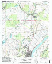
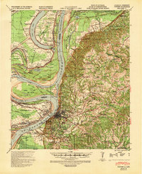
1999 Map of Ferriday North
USGS Topo · Published 2000About this map
Tensas River and Black River define this alluvial landscape where the borders of Louisiana and Mississippi meet. The northern extent of Ferriday is visible, showing a grid of residential streets like Mississippi Ave and Georgia Ave near the parish line. The map captures the complex hydrology of the Mississippi floodplain, characterized by oxbows and cutoffs such as Vidal Lake, Fletchers Lake, and Ox Lake.
Find a feature on this map
46 named features on this map. Tap any name to fly to it.
Don’t see what you’re looking for? This feature index may not catch every label — zoom into the map to look around manually.
Map Details
Editions of this 1999 Ferriday North Map
This is the sole edition of this map. No revisions or reprints were ever made.
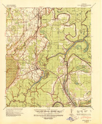
Other maps of this area

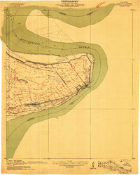
1909 · Sycamore Landing
USGS Topo · 1:24,000
1909 · Vidalia
USGS Topo · 1:24,000

1921 · Natchez
USGS Topo · 1:48,000
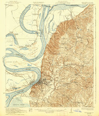
1922 · Natchez
USGS Topo · 1:62,500
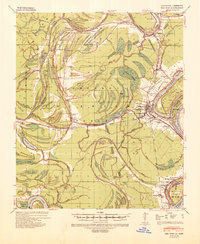
1939 · Red Gum
USGS Topo · 1:62,500
1939 · Natchez
USGS Topo · 1:62,500

1939 · Locust Ridge
USGS Topo · 1:62,500
1941 · Sicily Island
USGS Topo · 1:62,500

1953 · Natchez
USGS Topo · 1:250,000

1956 · Natchez
USGS Topo · 1:250,000