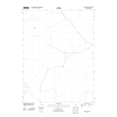
2012 Map of Ferris Creek
USGS Topo · Published 2012About this map
Utah Mine Camp stands as the primary human settlement footprint in this high-altitude landscape of central Nevada. The terrain is defined by a series of significant drainages and peaks, with Dome Peak providing a central landmark among the mountain slopes. Water sources are critical here, evidenced by the presence of Big Spring and Clarks Spring, which likely supported early prospecting and cattle operations in the region.
Find a feature on this map
14 named features on this map. Tap any name to fly to it.
Don’t see what you’re looking for? This feature index may not catch every label — zoom into the map to look around manually.
Map Details
Editions of this 2012 Ferris Creek Map
This is the sole edition of this map. No revisions or reprints were ever made.
Other maps of this area

1938 · Cortez
USGS Topo · 1:48,000

1944 · Cortez
USGS Topo · 1:62,500

1949 · Crescent Valley
USGS Topo · 1:62,500

1949 · Mt. Lewis
USGS Topo · 1:62,500

1950 · Mt. Lewis
USGS Topo · 1:62,500

1950 · Crescent Valley
USGS Topo · 1:62,500

1955 · Winnemucca
USGS Topo · 1:250,000

1958 · Winnemucca
USGS Topo · 1:250,000

1962 · Winnemucca
USGS Topo · 1:250,000

1962 · Carico Lake
USGS Topo · 1:62,500