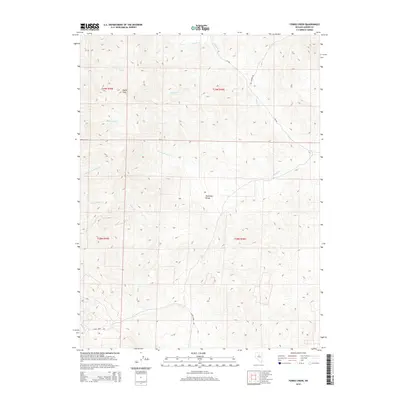
2014 Map of Ferris Creek
USGS Topo · Published 2014About this map
Shoshone Range peaks define this high-altitude landscape in Lander County, where rugged drainage networks descend from the heights of Dome Peak. The terrain is characterized by a complex system of seasonal and perennial waterways, most notably the forks of Mill Creek, including N Fork Mill Cr, Middle Fork Mill Cr, and S Fork Mill Cr. These drainages, alongside Ferris Cr and Elder Cr, indicate a landscape deeply carved by water, providing essential resources in this arid region.
Find a feature on this map
21 named features on this map. Tap any name to fly to it.
Don’t see what you’re looking for? This feature index may not catch every label — zoom into the map to look around manually.
Map Details
Editions of this 2014 Ferris Creek Map
This is the sole edition of this map. No revisions or reprints were ever made.
Other maps of this area

1938 · Cortez
USGS Topo · 1:48,000

1944 · Cortez
USGS Topo · 1:62,500

1949 · Crescent Valley
USGS Topo · 1:62,500

1949 · Mt. Lewis
USGS Topo · 1:62,500

1950 · Mt. Lewis
USGS Topo · 1:62,500

1950 · Crescent Valley
USGS Topo · 1:62,500

1955 · Winnemucca
USGS Topo · 1:250,000

1958 · Winnemucca
USGS Topo · 1:250,000

1962 · Winnemucca
USGS Topo · 1:250,000

1962 · Carico Lake
USGS Topo · 1:62,500