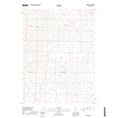
2018 Map of Ferris Creek
USGS Topo · Published 2018About this map
The Shoshone Range dominates this portion of Lander County, forming a high-elevation landscape defined by its complex drainage network and prominent summits like Dome Peak. The terrain is etched by numerous seasonal and perennial watercourses, including the upper reaches of Ferris Cr and its W Fork Ferris Cr, which flow eastward through the central part of the quadrangle. High mountain water sources such as Big Spring near the headwaters of Trout Cr and Clarks Spring further south provided critical points of interest in this arid environment.
Find a feature on this map
20 named features on this map. Tap any name to fly to it.
Don’t see what you’re looking for? This feature index may not catch every label — zoom into the map to look around manually.
Map Details
Editions of this 2018 Ferris Creek Map
This is the sole edition of this map. No revisions or reprints were ever made.
Other maps of this area

1938 · Cortez
USGS Topo · 1:48,000

1944 · Cortez
USGS Topo · 1:62,500

1949 · Crescent Valley
USGS Topo · 1:62,500

1949 · Mt. Lewis
USGS Topo · 1:62,500

1950 · Mt. Lewis
USGS Topo · 1:62,500

1950 · Crescent Valley
USGS Topo · 1:62,500

1955 · Winnemucca
USGS Topo · 1:250,000

1958 · Winnemucca
USGS Topo · 1:250,000

1962 · Winnemucca
USGS Topo · 1:250,000

1962 · Carico Lake
USGS Topo · 1:62,500