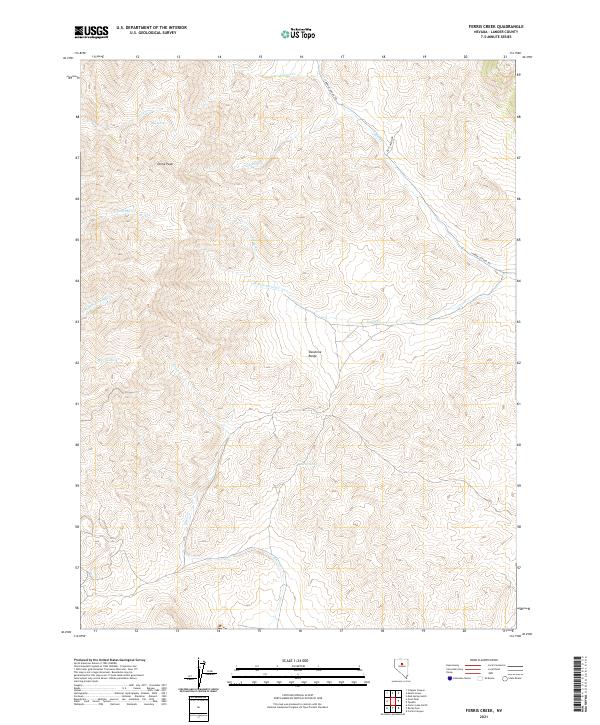
2021 Map of Ferris Creek
USGS Topo · Published 2021About this map
The Shoshone Range dominates this portion of Lander County, where the high-altitude landscape is defined by the drainage systems of the Reese River basin. Rising to prominent heights at Dome Peak, the terrain gives way to a complex network of seasonal and perennial streams including Ferris Cr and Elder Cr. The presence of Big Spring and Clarks Spring indicates the critical importance of reliable water sources in this arid environment, likely serving as focal points for historical livestock grazing and early territory navigation.
Find a feature on this map
20 named features on this map. Tap any name to fly to it.
Don’t see what you’re looking for? This feature index may not catch every label — zoom into the map to look around manually.
Map Details
Editions of this 2021 Ferris Creek Map
This is the sole edition of this map. No revisions or reprints were ever made.
Other maps of this area

1938 · Cortez
USGS Topo · 1:48,000

1944 · Cortez
USGS Topo · 1:62,500

1949 · Crescent Valley
USGS Topo · 1:62,500

1949 · Mt. Lewis
USGS Topo · 1:62,500

1950 · Mt. Lewis
USGS Topo · 1:62,500

1950 · Crescent Valley
USGS Topo · 1:62,500

1955 · Winnemucca
USGS Topo · 1:250,000

1958 · Winnemucca
USGS Topo · 1:250,000

1962 · Winnemucca
USGS Topo · 1:250,000

1962 · Carico Lake
USGS Topo · 1:62,500