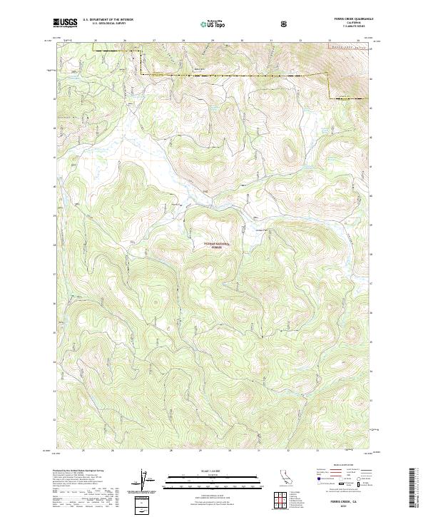
2021 Map of Ferris Creek
USGS Topo · Published 2021About this map
Plumas National Forest land defines this landscape where the high desert of the Honey Lake Valley meets the forested elevations of the Sierra Nevada. The terrain is marked by a network of seasonal drainages and springs that supported early ranching and mining activity in Plumas County. Named features like Johnson Mill Spring and Downing Cabin Spring suggest a history of small-scale settlement and industrial attempts, while the presence of the Plinco Mine Rd points to the area's mineral prospects. The topographic data reveals a complex system of canyons, including East Canyon and Stiles Canyon, which funnel water toward Last Chance Cr. These waterways and isolated flats like Ferris Flat and Jordan Flat illustrate how geography dictated the placement of early mountain roads such as the Milford-Beckworth and Upper Last Chance routes.
Find a feature on this map
37 named features on this map. Tap any name to fly to it.
Don’t see what you’re looking for? This feature index may not catch every label — zoom into the map to look around manually.
Map Details
Editions of this 2021 Ferris Creek Map
This is the sole edition of this map. No revisions or reprints were ever made.
Other maps of this area

1886 · Honey Lake
USGS Topo · 1:250,000

1890 · Sierraville
USGS Topo · 1:125,000

1891 · Honey Lake
USGS Topo · 1:250,000

1892 · Sierraville
USGS Topo · 1:125,000

1893 · Honey Lake
USGS Topo · 1:250,000

1894 · Sierraville
USGS Topo · 1:125,000

1950 · Chilcoot
USGS Topo · 1:62,500

1950 · Portola
USGS Topo · 1:62,500

1950 · Milford
USGS Topo · 1:62,500

1954 · Doyle
USGS Topo · 1:62,500