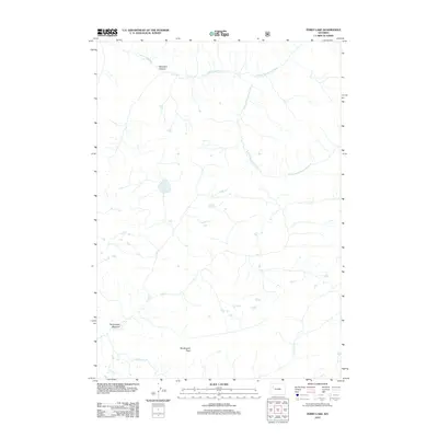
2012 Map of Ferry Lake
USGS Topo · Published 2012About this map
The Yellowstone River and its major tributaries define the hydrography of this high-elevation wilderness in Fremont County during the early 21st century. The map centers on the headwaters where the N Fork Yellowstone River and S Fork Yellowstone River converge. This area is characterized by significant topographic relief, anchored by Pendergraft Peak in the southwest.
Find a feature on this map
12 named features on this map. Tap any name to fly to it.
Don’t see what you’re looking for? This feature index may not catch every label — zoom into the map to look around manually.
Map Details
Editions of this 2012 Ferry Lake Map
This is the sole edition of this map. No revisions or reprints were ever made.
Other maps of this area

1885 · Lake
USGS Topo · 1:125,000

1893 · Ishawooa
USGS Topo · 1:125,000

1895 · Ishawooa
USGS Topo · 1:125,000

1895 · Lake
USGS Topo · 1:125,000

1896 · Lake
USGS Topo · 1:125,000

1899 · Ishawooa
USGS Topo · 1:125,000

1901 · Lake
USGS Topo · 1:125,000

1902 · Mt Leidy
USGS Topo · 1:125,000

1905 · Younts Peak
USGS Topo · 1:125,000

1906 · Lake
USGS Topo · 1:125,000