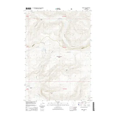
2015 Map of Ferry Lake
USGS Topo · Published 2015About this map
The Absaroka Range dominates this portion of the Teton National Forest, where the headwaters of the Yellowstone River begin their journey north. The landscape is defined by its drainage systems, including the N Fork Yellowstone River and S Fork Yellowstone River, which converge amidst high-altitude terrain. A network of primitive pathways, such as the Yellowstone Trails and the Marston Pass Trail, provide the primary means of movement through this wilderness.
Find a feature on this map
27 named features on this map. Tap any name to fly to it.
Don’t see what you’re looking for? This feature index may not catch every label — zoom into the map to look around manually.
Map Details
Editions of this 2015 Ferry Lake Map
This is the sole edition of this map. No revisions or reprints were ever made.
Other maps of this area

1885 · Lake
USGS Topo · 1:125,000

1893 · Ishawooa
USGS Topo · 1:125,000

1895 · Ishawooa
USGS Topo · 1:125,000

1895 · Lake
USGS Topo · 1:125,000

1896 · Lake
USGS Topo · 1:125,000

1899 · Ishawooa
USGS Topo · 1:125,000

1901 · Lake
USGS Topo · 1:125,000

1902 · Mt Leidy
USGS Topo · 1:125,000

1905 · Younts Peak
USGS Topo · 1:125,000

1906 · Lake
USGS Topo · 1:125,000