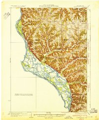
1932 Map of Ferryville
USGS Topo · Published 1932About this map
Mississippi River backwaters and the complex network of Winneshiek Slough define the western edge of this 1932 topographic study of the Driftless Area. This intricate riverine environment, featuring Battle Island and Winneshiek Island, transitions sharply into the deeply dissected uplands of Crawford and Vernon Counties. The map reveals a densely settled rural landscape where numerous small schools, such as Redmound School and Howard School, served isolated ridge-top and hollow communities.
Find a feature on this map
64 named features on this map. Tap any name to fly to it.
Don’t see what you’re looking for? This feature index may not catch every label — zoom into the map to look around manually.
Map Details
Editions of this 1932 Ferryville Map
This is the sole edition of this map. No revisions or reprints were ever made.
Other maps of this area
1903 · Waukon
USGS Topo · 1:125,000
1923 · Viroqua
USGS Topo · 1:62,500
1924 · Gays Mills
USGS Topo · 1:62,500
1926 · Gays Mills
USGS Topo · 1:62,500
1926 · Stoddard
USGS Topo · 1:62,500
1926 · Viroqua
USGS Topo · 1:62,500
1926 · Wauzeka
USGS Topo · 1:62,500
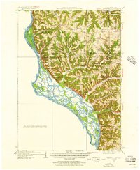
1929 · Ferryville
USGS Topo · 1:62,500
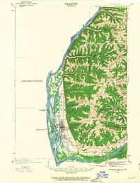
1929 · Prairie Du Chien
USGS Topo · 1:62,500
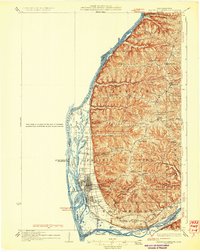
1932 · Prairie Du Chien
USGS Topo · 1:62,500