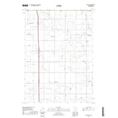
2018 Map of Fertile NE
USGS Topo · Published 2018About this map
Silver Lake sits at the northwestern edge of this Worth County landscape, part of a glaciated terrain defined by numerous small wetlands and drainage networks. The area is heavily marked by its rural agricultural heritage, where a grid of section lines and gravel roads connects several historic burial grounds. Along the Shell Rock River and Elk Creek, the topography drops slightly into wooded riparian corridors, contrasting with the surrounding tilled fields.
Find a feature on this map
53 named features on this map. Tap any name to fly to it.
Don’t see what you’re looking for? This feature index may not catch every label — zoom into the map to look around manually.
Map Details
Editions of this 2018 Fertile NE Map
This is the sole edition of this map. No revisions or reprints were ever made.
Other maps of this area

1954 · Albert Lea
USGS Topo · 1:62,500

1954 · Hayward
USGS Topo · 1:62,500

1954 · Mason City
USGS Topo · 1:250,000

1957 · Mason City
USGS Topo · 1:250,000

1958 · Mason City
USGS Topo · 1:250,000

1972 · Manly
USGS Topo · 1:24,000

1972 · Fertile
USGS Topo · 1:24,000

1972 · Northwood
USGS Topo · 1:24,000

1972 · Fertile NE
USGS Topo · 1:24,000

1972 · Bristol
USGS Topo · 1:24,000