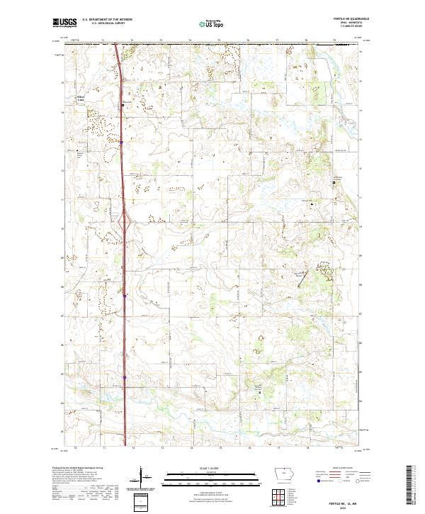
2022 Map of Fertile NE
USGS Topo · Published 2022About this map
The agricultural landscape of Worth County, Iowa, is defined by the headwaters and drainage patterns of the Shell Rock River and its tributaries. This 2022 survey documents a rural environment where land use remains closely tied to the section-line grid of the Public Land Survey System, as seen in the extensive network of roads like Co Rd A15 and Co Hwy S32. For genealogists, the map is particularly detailed in its placement of historical burial sites, ranging from larger community grounds like Dahlside Cem and Elk Creek Number One Cem to the private Rugland Family Plot. The presence of Silver Lake and the winding course of Goose Cr reflect the natural prairie potholes and waterways that local farmers have managed through features such as Ditch Number 40. The inclusion of Holt Farms Airport highlights the persistence of family-owned aviation infrastructure within this deeply rooted farming community.
Find a feature on this map
54 named features on this map. Tap any name to fly to it.
Don’t see what you’re looking for? This feature index may not catch every label — zoom into the map to look around manually.
Map Details
Editions of this 2022 Fertile NE Map
This is the sole edition of this map. No revisions or reprints were ever made.
Other maps of this area

1954 · Albert Lea
USGS Topo · 1:62,500

1954 · Hayward
USGS Topo · 1:62,500

1954 · Mason City
USGS Topo · 1:250,000

1957 · Mason City
USGS Topo · 1:250,000

1958 · Mason City
USGS Topo · 1:250,000

1972 · Manly
USGS Topo · 1:24,000

1972 · Fertile
USGS Topo · 1:24,000

1972 · Northwood
USGS Topo · 1:24,000

1972 · Fertile NE
USGS Topo · 1:24,000

1972 · Bristol
USGS Topo · 1:24,000