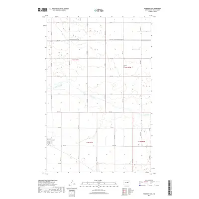
2018 Map of Fessenden East
USGS Topo · Published 2018About this map
Fessenden sits at the southwestern edge of this landscape in Wells County, where the grid of the northern plains meets the meandering course of the James River. The river winds through the center of the quadrangle, cutting a distinct path across a terrain defined by sections of the Public Land Survey System, including t148n r70w and t149n r70w. This area reflects the late twentieth-century development of long-distance recreation with the passage of the N Country National Scenic Trail, which runs horizontally across the northern tier near 22nd St NE. Local history and genealogy are anchored at the Concordia Cem in the eastern portion of the map, while a network of county roads like Co Rd 1 and Co Rd 5 provides the primary infrastructure for this agricultural region.
Find a feature on this map
20 named features on this map. Tap any name to fly to it.
Don’t see what you’re looking for? This feature index may not catch every label — zoom into the map to look around manually.
Map Details
Editions of this 2018 Fessenden East Map
This is the sole edition of this map. No revisions or reprints were ever made.
Other maps of this area

1932 · Flora
USGS Topo · 1:62,500

1943 · Maddock
USGS Topo · 1:62,500

1945 · Maddock
USGS Topo · 1:62,500

1948 · Cathay
USGS Topo · 1:62,500

1948 · Fessenden
USGS Topo · 1:62,500

1948 · Bremen
USGS Topo · 1:24,000

1949 · Bremen
USGS Topo · 1:24,000

1949 · Cathay
USGS Topo · 1:24,000

1949 · Fessenden SW
USGS Topo · 1:24,000

1949 · Fessenden East
USGS Topo · 1:24,000